
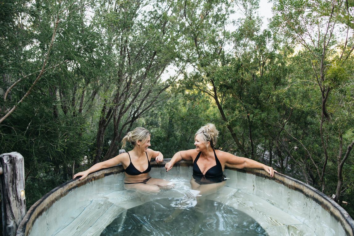
Australia and New Zealand
Wild, beautiful and seriously rewarding
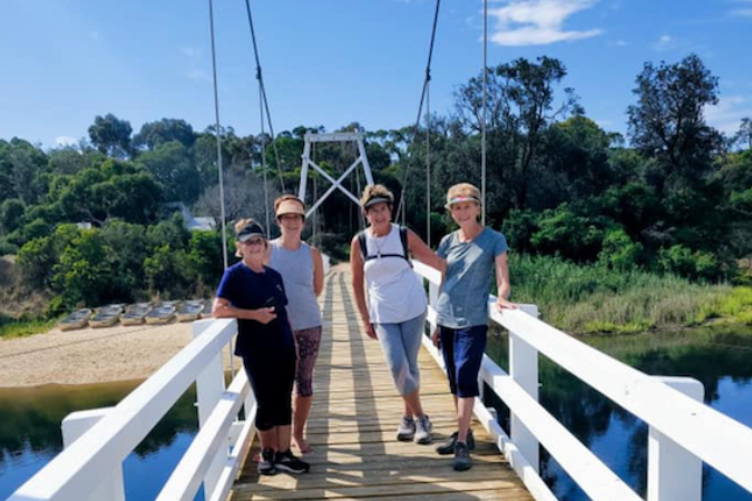
Take a look at our irresistible hiking experiences in Australia and New Zealand.
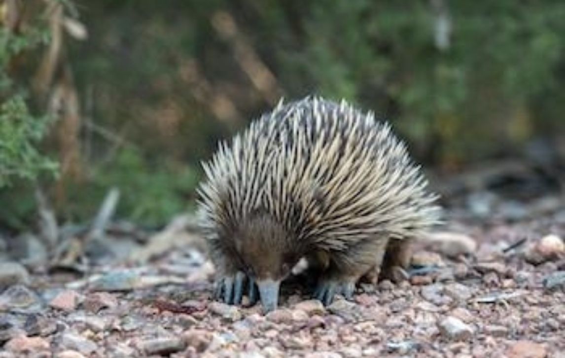
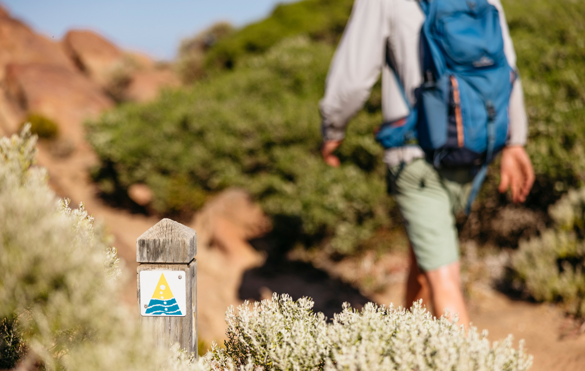
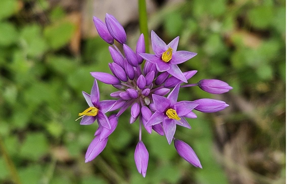
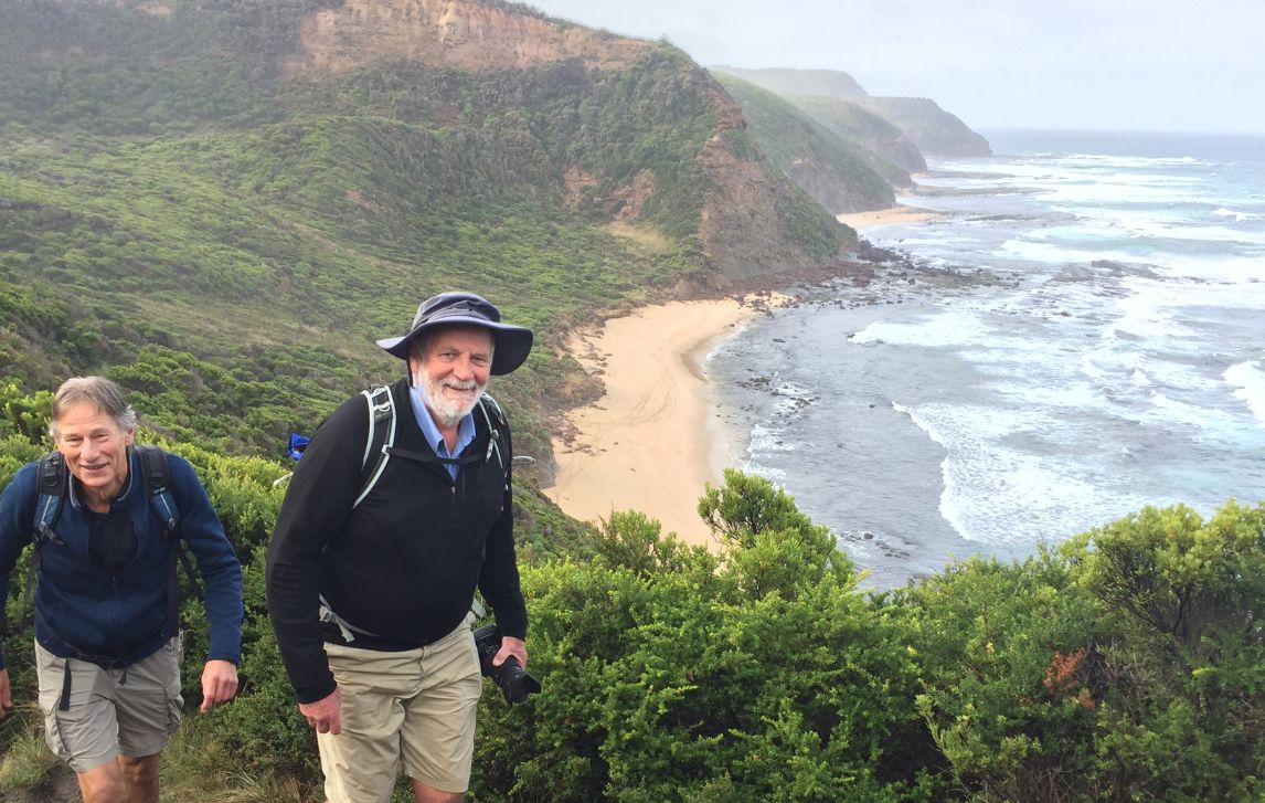
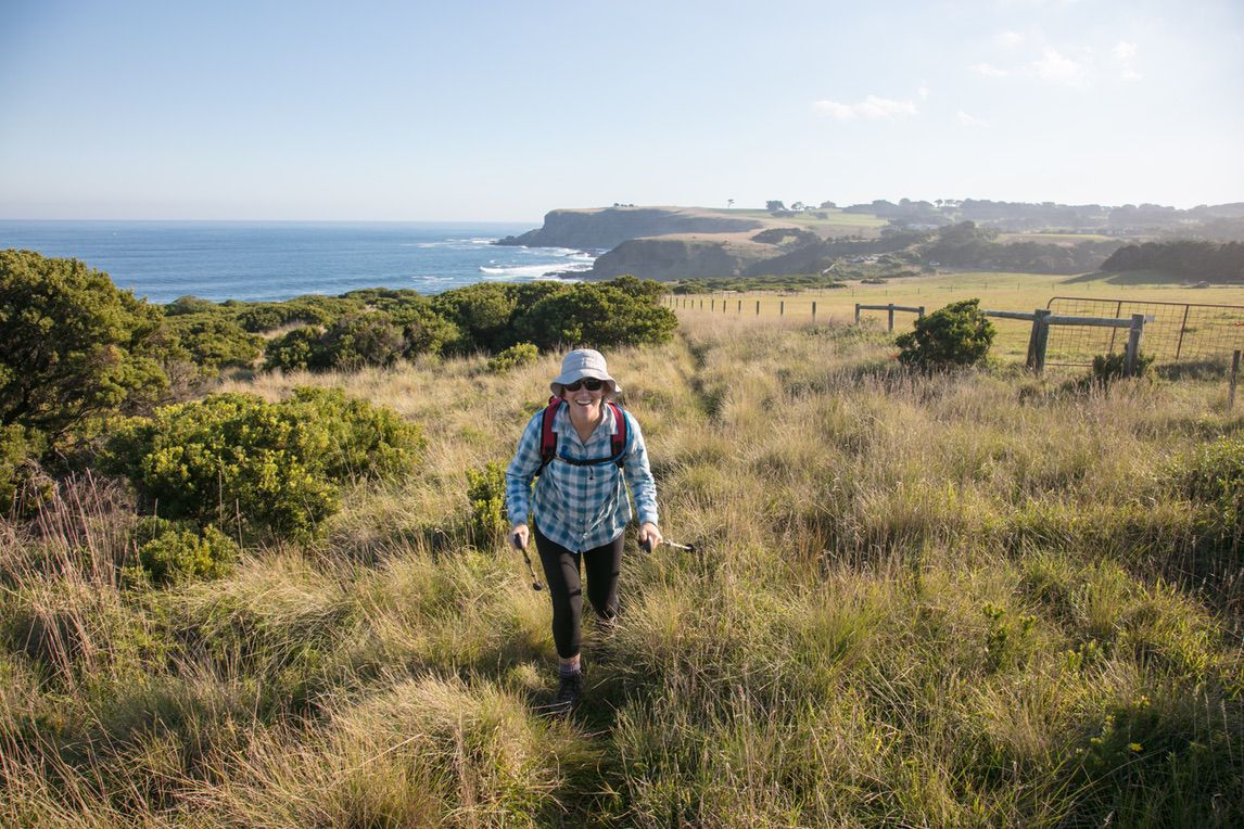
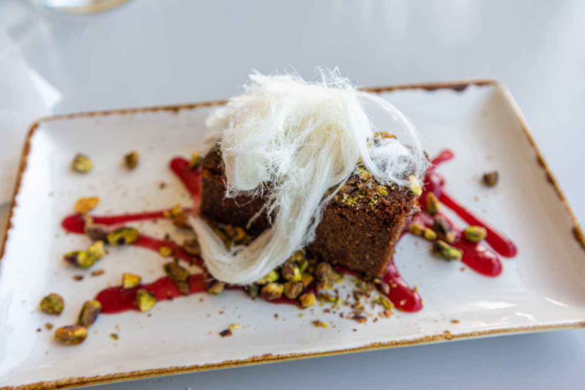
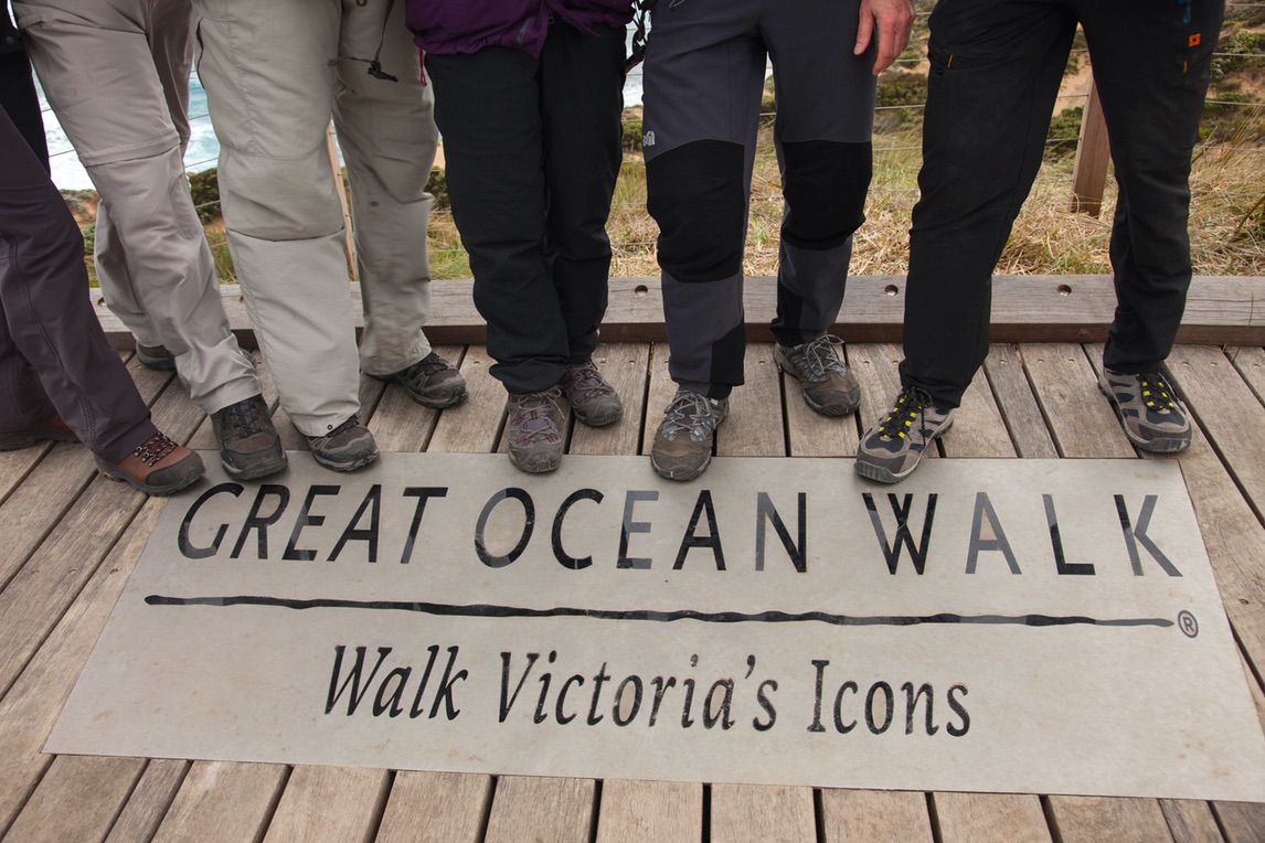
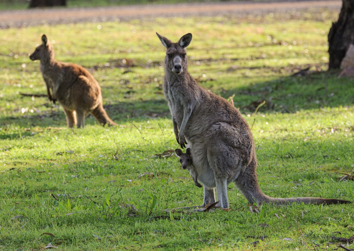
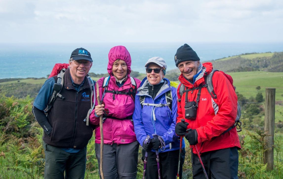
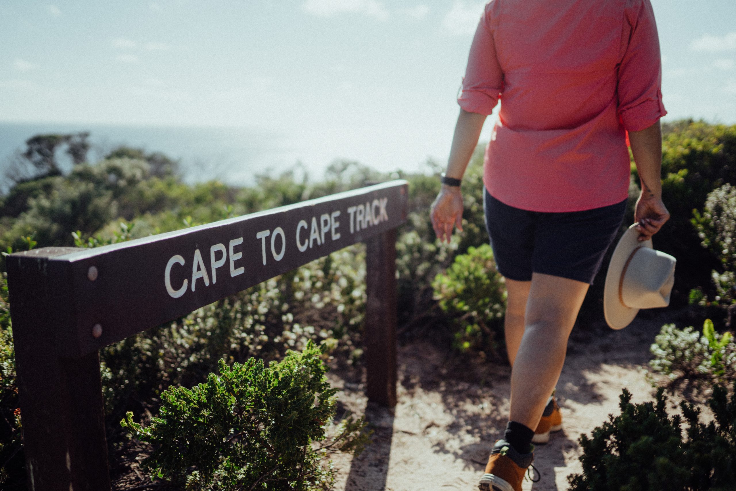
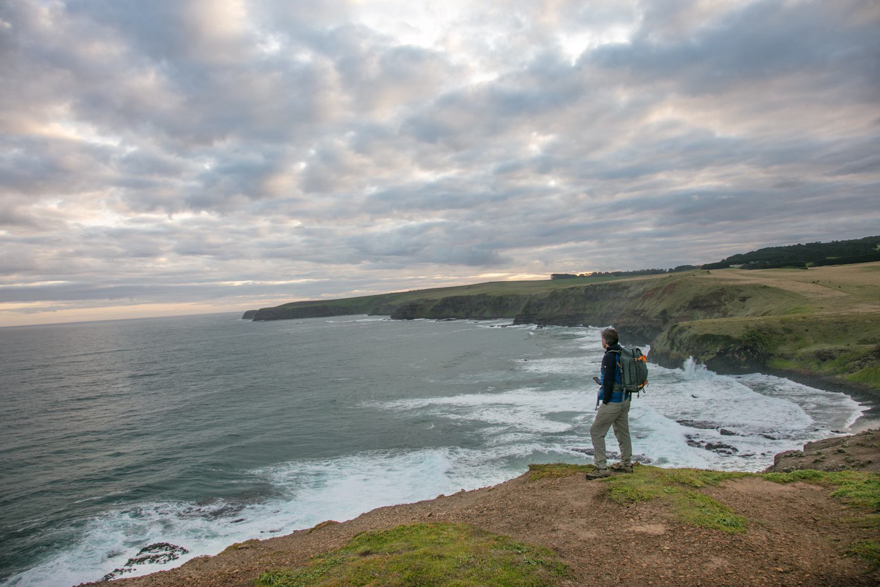
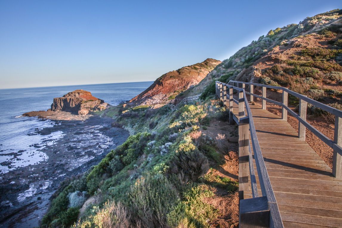
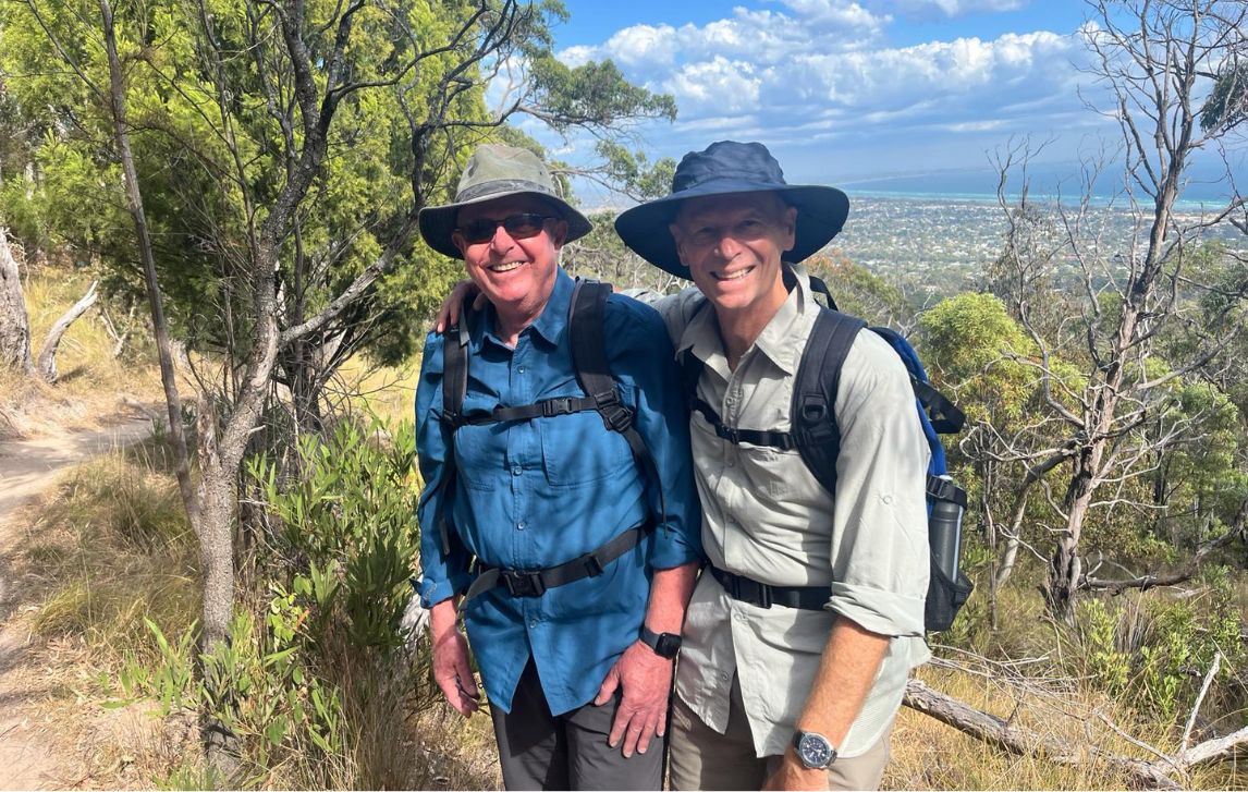
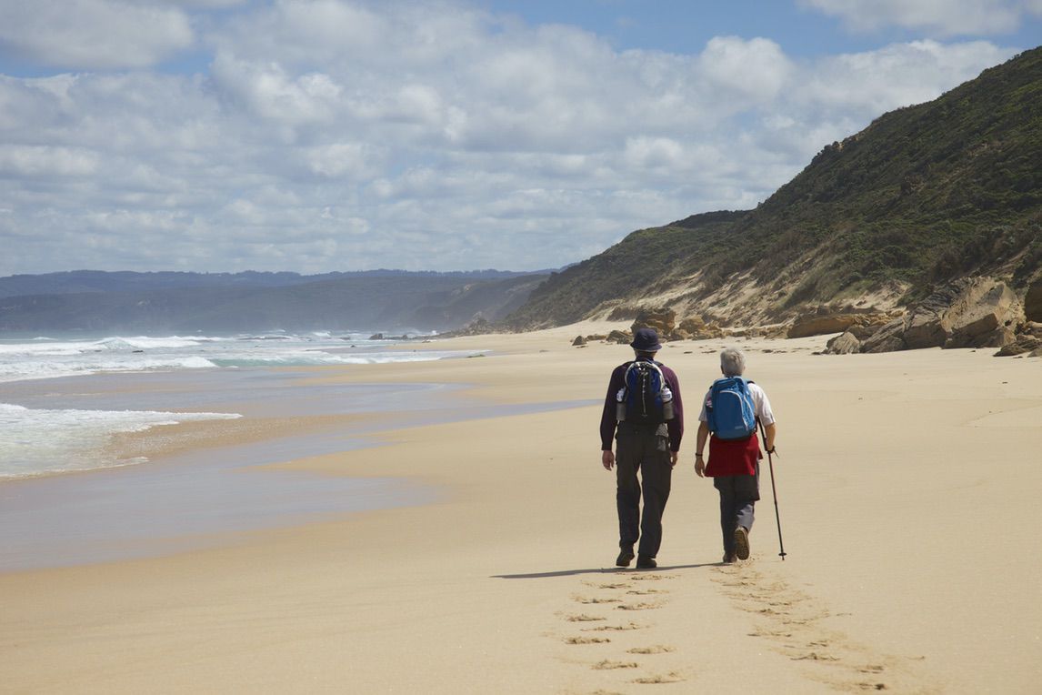
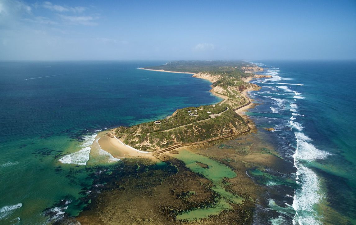
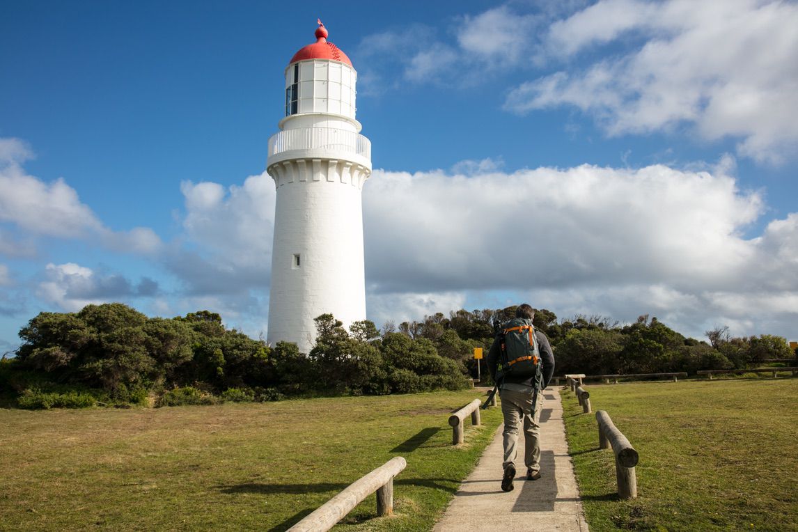
Discover the wilder, less-travelled side of Victoria’s world-famous Great Ocean Road coastline on the spectacular Great Ocean Walk, stretching from Apollo Bay and Cape Otway to the Twelve Apostles. In Western Australia, walk the legendary Cape to Cape Track through the Margaret River region – a firm favourite for its incredible wildflowers and sweeping ocean vistas from Cape Naturaliste to Cape Leeuwin. Our home base on the Mornington Peninsula offers easy access to breathtaking scenery, from rolling vineyards and tranquil bushland to scenic beachside trails – all complemented by the region’s renowned gourmet delights.
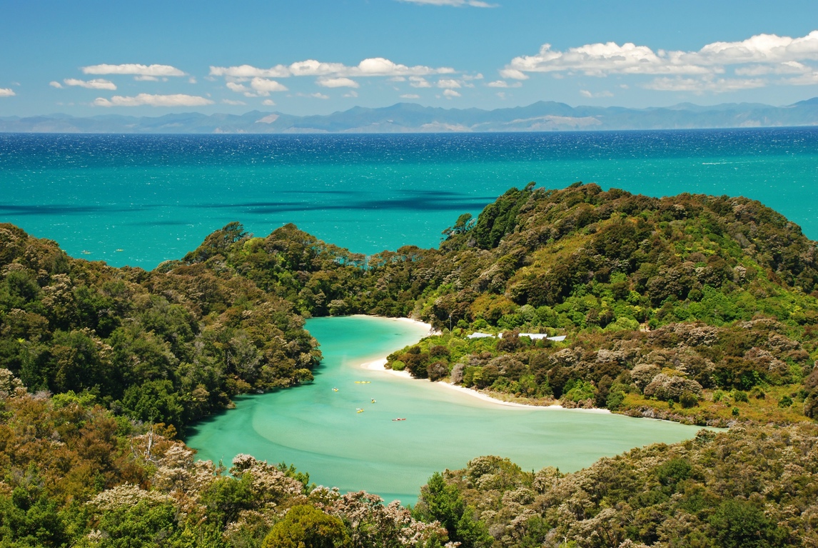
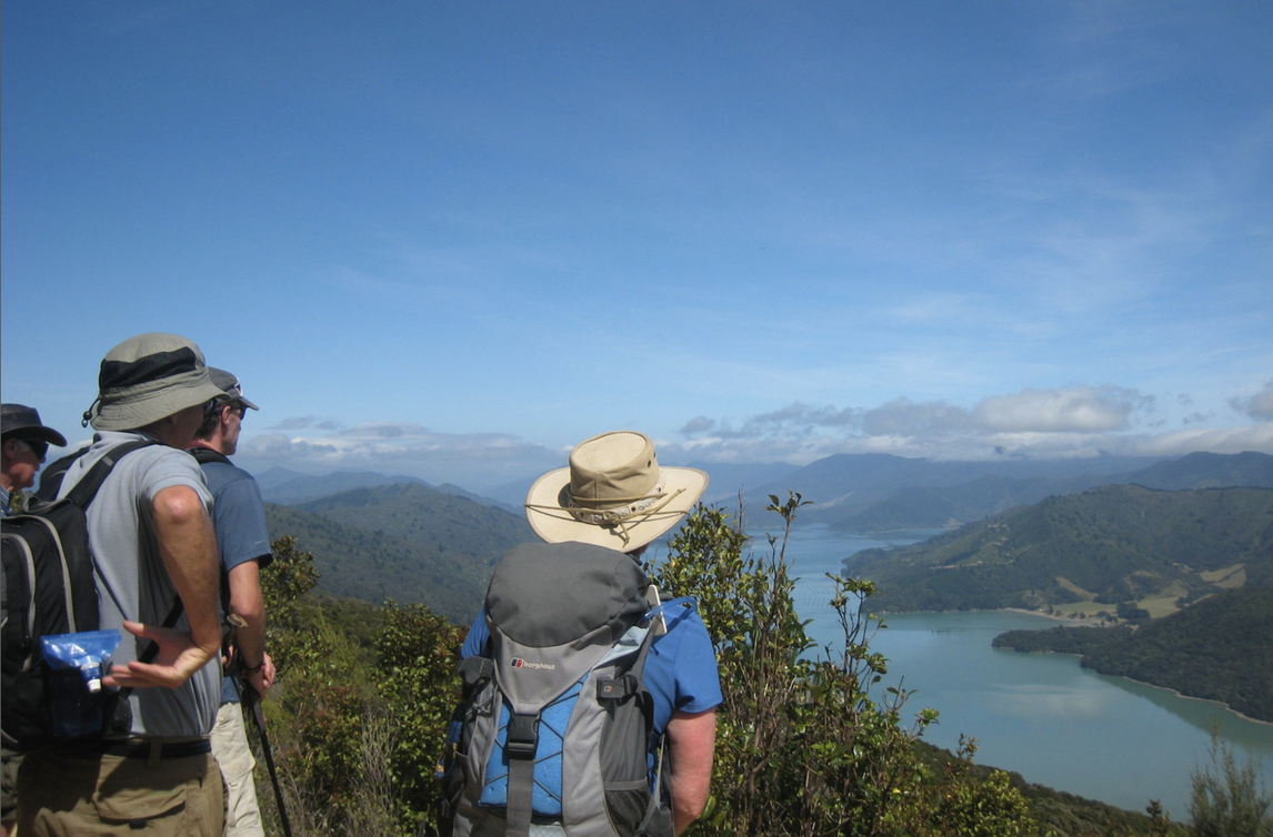
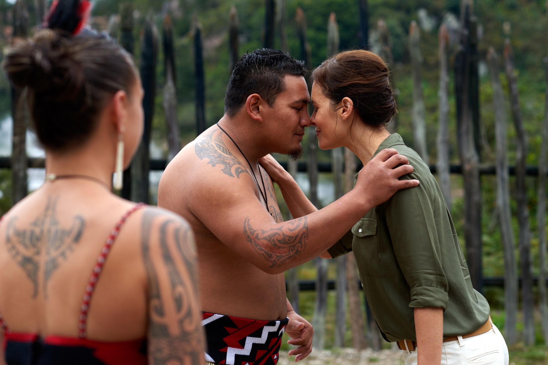
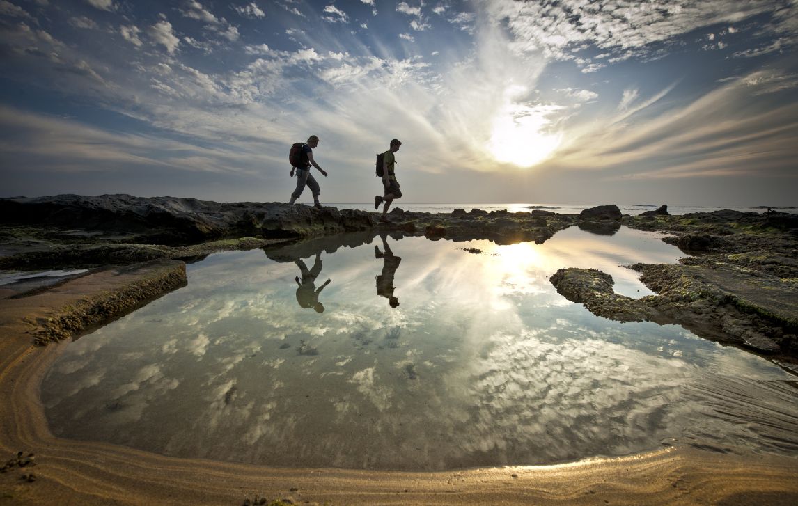
In New Zealand, we invite you to explore two exceptional coastal walks on the spellbindingly beautiful South Island. The iconic Queen Charlotte and Abel Tasman tracks are known for their pristine forests, dazzling variety of native wildlife, tranquility, exceptionally well-maintained trails and top-notch food and wine.
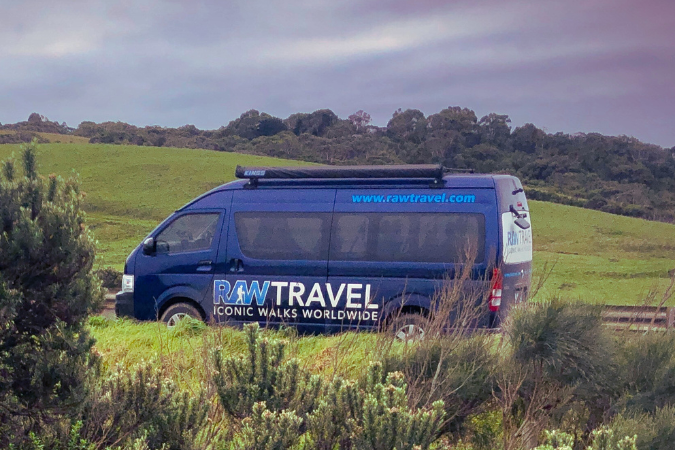
Choose the freedom of a supported self-guided adventure or deepen your journey with a guided walk – either way, our expert team is here to help you explore these world-class trails with confidence. Let the adventure begin!


Australia and New Zealand
Cape to Cape Track – Self Guided Highlights
- Dramatic granite outcrops and pristine ocean sea-scapes
- Astounding variety of flora including seasonal spider-orchids
- Towering Karri trees
- Stunning scenery and coastal walking
$1,950.00

Australia and New Zealand
The Self Guided Trip – Cape to Cape Track
- Dramatic granite outcrops and pristine ocean sea-scapes
- Astounding variety of flora including seasonal spider-orchids
- Towering Karri trees
- Stunning scenery and coastal walking
$2,495.00

Australia and New Zealand
Cape to Cape Track with Meelup Trail
- Extended trip that begins with the beautiful Meelup Trail
- Gorgeous coastal landscapes and seascapes
- Opportunities to see dolphins, seals and whales
- Wonderful variety of accommodation
$3,195.00

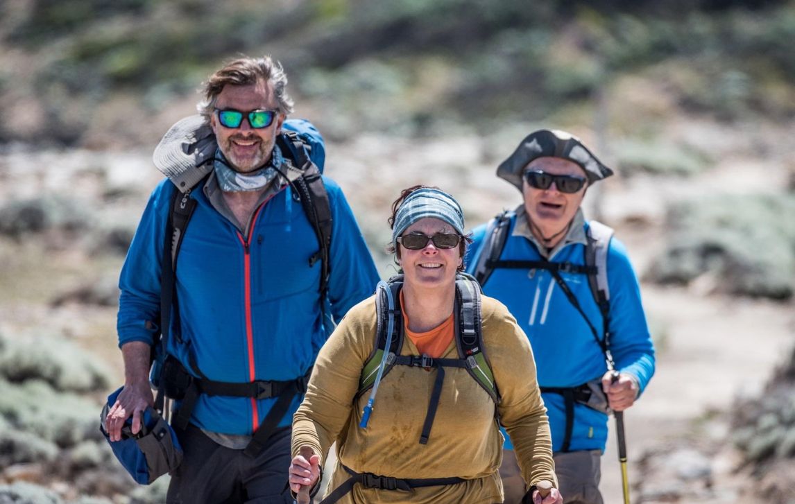
Australia and New Zealand
Guided Cape to Cape Track
- Fully guided tour with Aussie Bush Guide Malcolm Roberts
- Ancient majestic coastline of the Margaret River region
- Stunning scenery and trails
- Astounding variety of flora including seasonal spider-orchids
$3,690.00

Australia and New Zealand
The Self-Guided Highlights Trip – Great Ocean Walk
- Walk more than half of the iconic Great Ocean Walk
- Enjoy a personalised locally based service
- Stay in different accommodation along the route
- Be fully prepared with a briefing from our knowledgeable local driver
$1,750.00

Australia and New Zealand
The End to End Self-Guided Trip – Great Ocean Walk
- Walk the full length of the Great Ocean Walk
- Entry to the Cape Otway Lightstation
- Emergency satellite messenger beacon
- A moderate challenge from Apollo Bay to Twelve Apostles
$2,995.00

Australia and New Zealand
The Guided Highlights Trip – Great Ocean Walk
- Embark on some of the best trails of the Great Ocean Walk
- Conveniently located accommodation in Apollo Bay and Port Campbell
- Discover the maritime history of the area with a resident shipwreck historian
- Explore koala habitat and forests, rugged capes, and the Twelve Apostles
$2,295.00

Australia and New Zealand
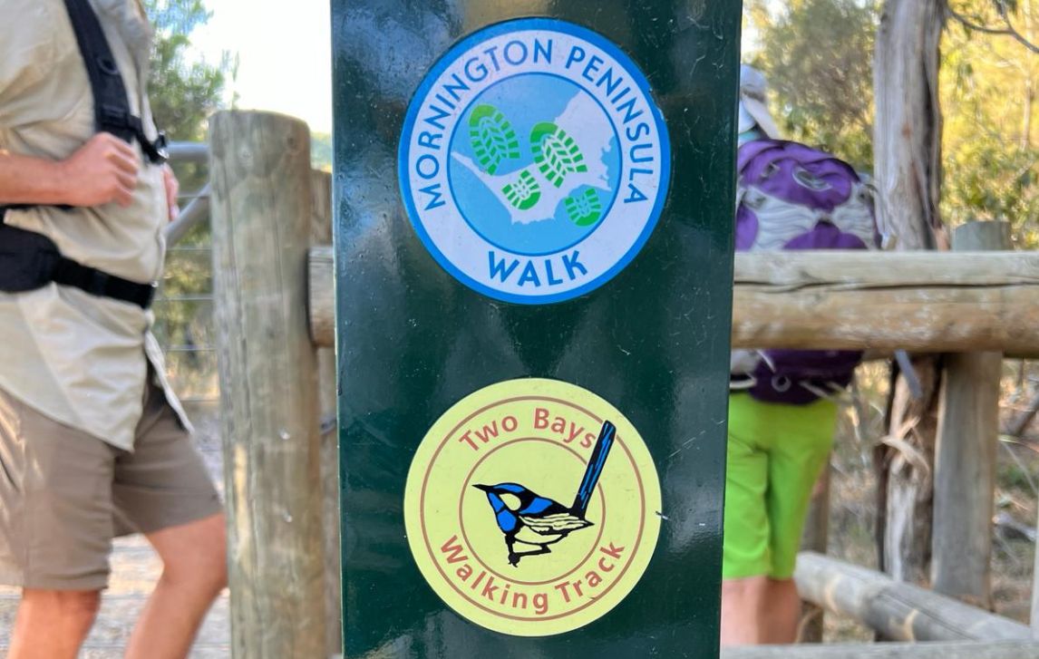
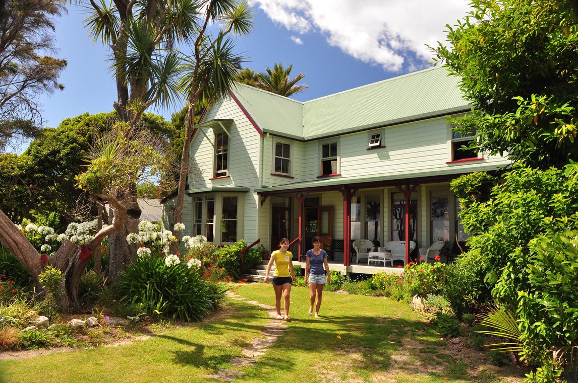
Self-Guided Trip – 4 day – Mornington Peninsula Highlights
- Discover one of Victoria’s most scenic coastal regions on foot
- Walk rugged clifftop trails, peaceful bush tracks, and pristine beaches
- Indulge in the Peninsula’s renowned food and wine scene
- Enjoy private transfers, briefings and backup from our local driver
$1,750.00
")
Australia and New Zealand
Mornington Peninsula 5 days – Self-Guided
- Experience the 100km Mornington Peninsula Walk
- Climb over the famous vantage point of Arthur’s Seat
- Take in the beautiful bay villages of Portsea and Sorrento
- Arthur’s Seat, Mornington National Park, Cape Schanck Coast, Point Nepean National Park
$2,050.00

Australia and New Zealand
Mornington Peninsula Full Circuit – Self-Guided
- Experience the 100km Mornington Peninsula Walk
- Climb over the famous vantage point of Arthur’s Seat
- Take in the beautiful bay villages of Portsea and Sorrento
- Arthur’s Seat, Mornington National Park, Cape Schanck Coast, Point Nepean National Park
$2,375.00

Australia and New Zealand
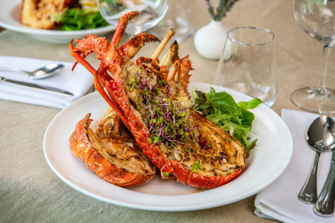
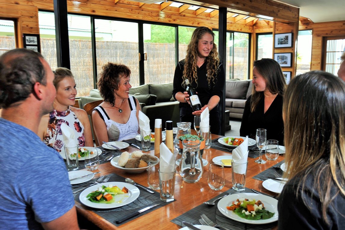
Food, Wine and Walking – Mornington Peninsula
- Walk some of the best trails, accompanied by taste sensations
- Feast on lunches featuring fresh and local cuisine
- Learn about wine production at one of the best vineyards
- Local food producers, behind-the-scenes on a farm, vineyard and olive grove
$2,790.00

Australia and New Zealand
Mornington Peninsula Highlights
- Stay in charming villages
- Taste the Peninsula’s many food offerings each day
- Explore the very best of the Mornington Peninsula’s varied trails
- Walk sections of the clifftop between Flinders and Cape Schanck
$2,495.00

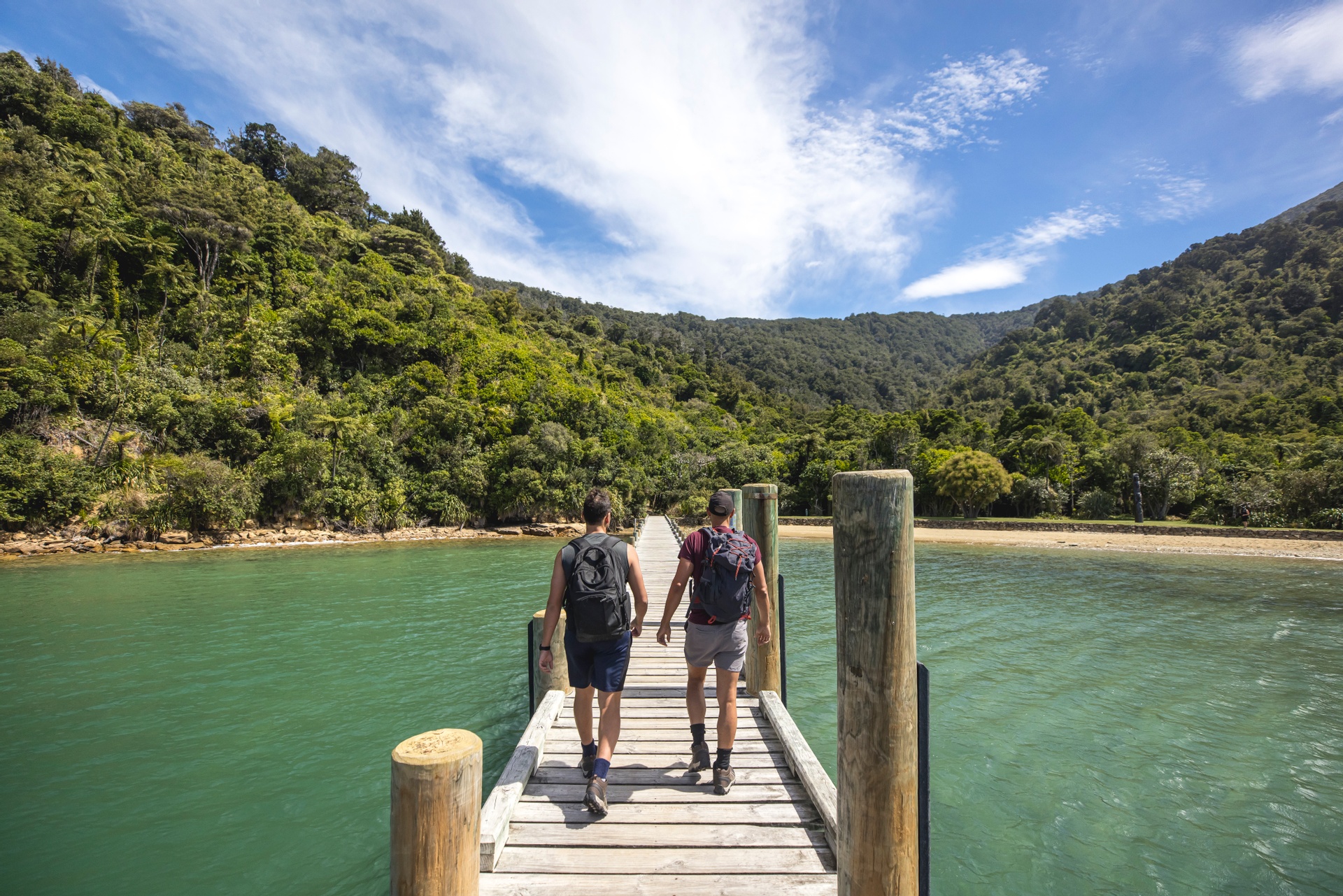
Australia and New Zealand
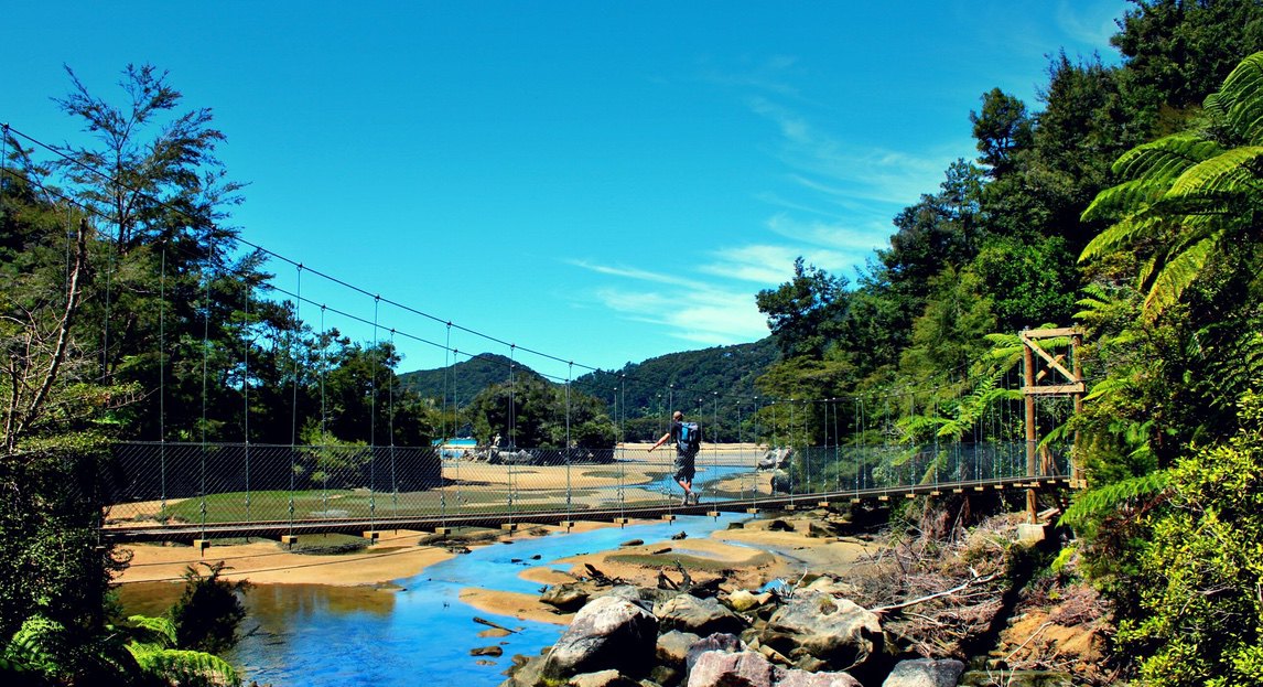
Abel Tasman Coastal Trek – Guided
- Fully guided walk along the classic Abel Tasman Coastal Track
- Boutique lodges along the trail and delicious locally produced meals
- Remote golden sand beaches and pristine coastline
- Cross an impressive 47m-long suspension bridge over Falls River
$2,650.00

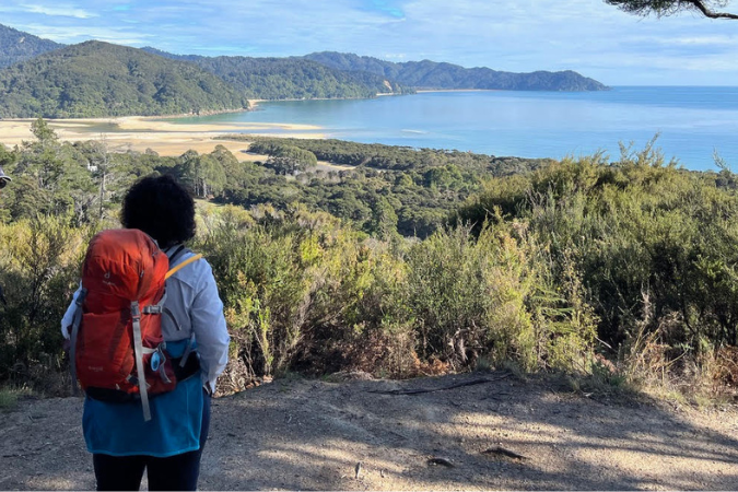
Australia and New Zealand
Abel Tasman Coastal Track – Self Guided
- Pack-free self-guided hike along one of New Zealand’s most popular trails
- Excellent boutique lodges along the trail and delicious locally produced meals
- Relax on a scenic cruise along the length of the Abel Tasman coast
- Explore Idyllic beaches, coves and inlets along the coast
$2,195.00

Australia and New Zealand
Queen Charlotte Track – Guided
- Breathtaking views, secluded coves, golden beaches and native forests
- Gastronomical delights from the world-renowned Marlborough region
- Boutique lodge accommodation in amazing locations
- Impressive birdlife, wildlife and sea life
$3,695.00

Australia and New Zealand
Queen Charlotte Track – Self Guided
- Pack-free self-guided hiking along the world famous Queen Charlotte Track
- Dramatic sweeping views of untouched native forest, coves and inlets
- Impressive birdlife, wildlife and sea life and plant life
- Boutique lodge accommodation in amazing locations
$2,350.00

Australia and New Zealand
Abel Tasman & Queen Charlotte: Self-Guided
- Pack-free self-guided hike along two stunning NZ coastal trails
- Excellent boutique lodges and delicious meals
- Remote golden sand beaches and pristine coastline
- A haven for wildlife and nature lovers
$4,550.00


Not quite what you're after?
Tailor-made trips
If you don’t see the exact trip you’re looking for then consider a customised trip, individually tailored to your ideal walking distances and timeframes. Have a look at our tailor-made trips page on the link below and drop us a line: