
24 Oct 22
Western Australia’s legendary Cape to Cape Track
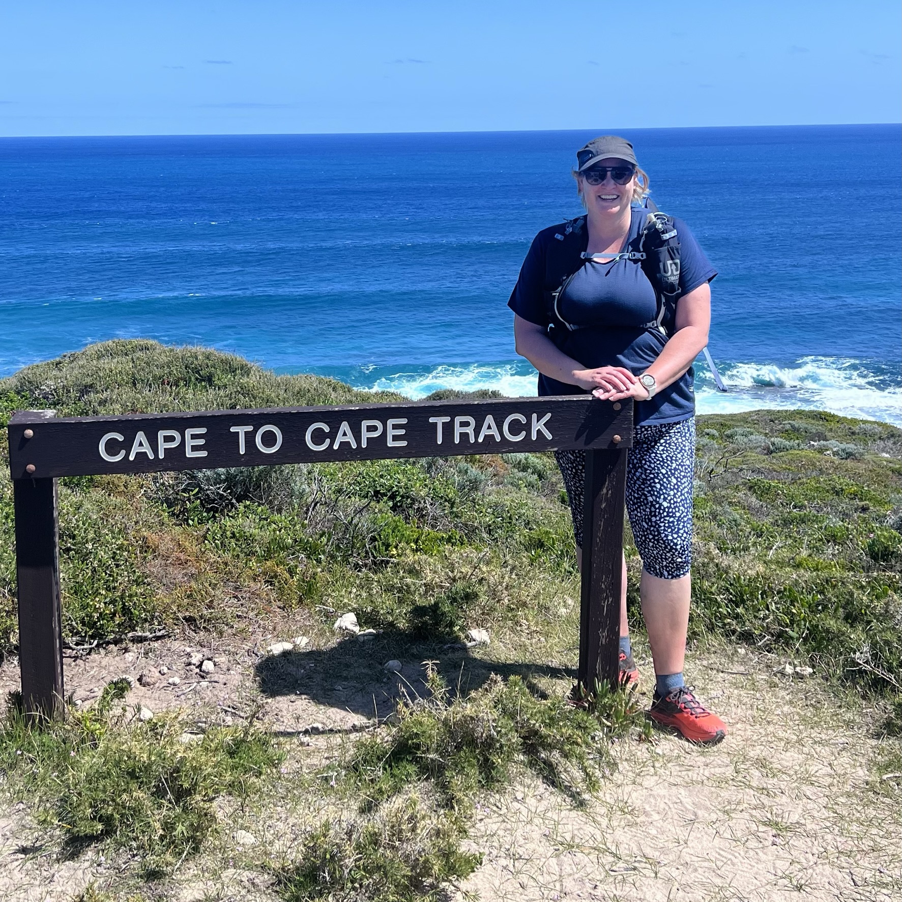
Way back in June 2020, after reviewing thousands of inspiring travel stories and photos, we announced the winner of our Hike the World competition. A few things got in the way of Canberra-based adventurer and mum Cath Wallis hitting the trails. This month, finally, Cath had the opportunity to complete the first part of her epic prize…walking Western Australia’s legendary Cape to Cape Track. Here’s Cath’s report on how her adventure unfolded…
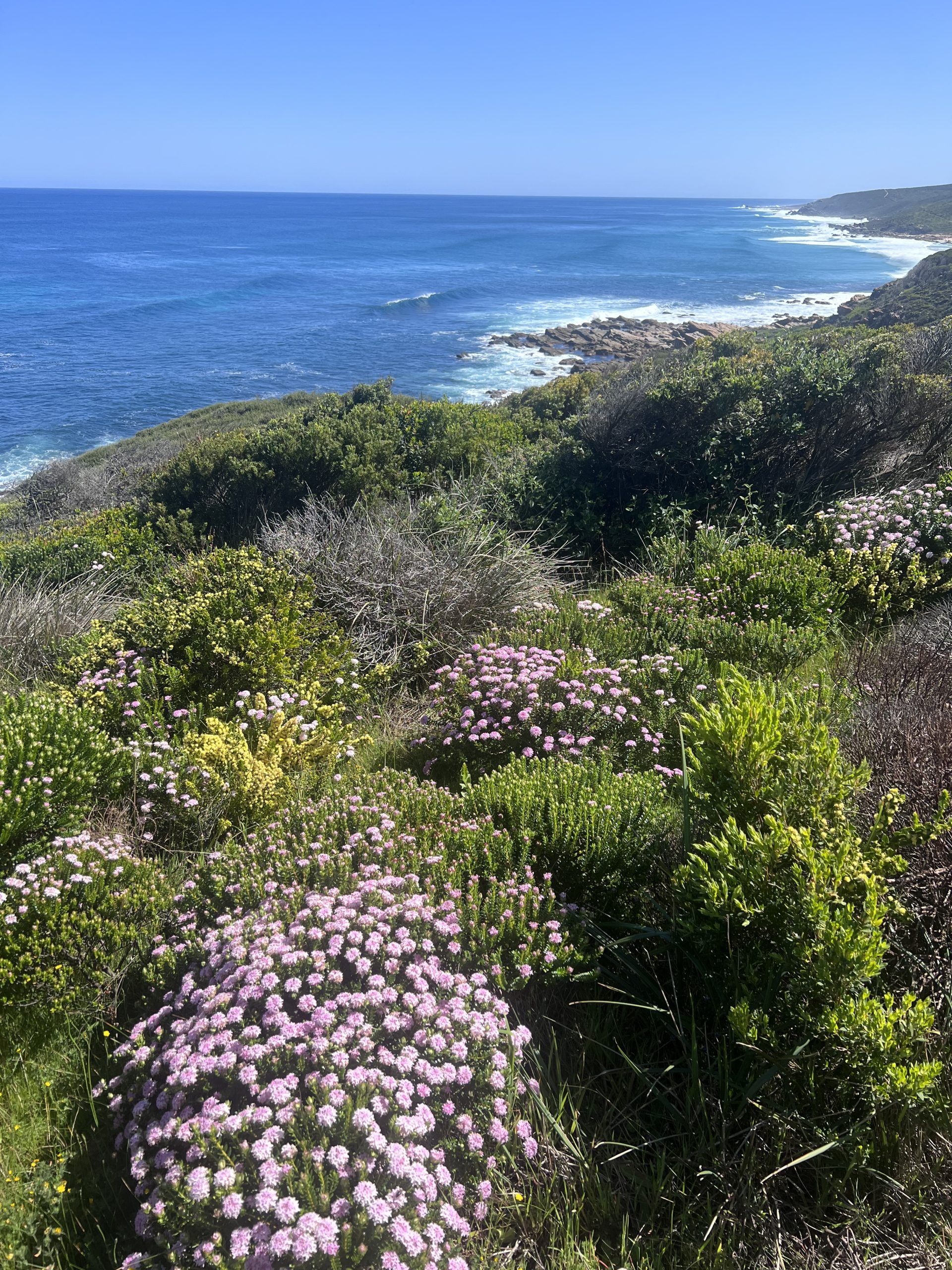
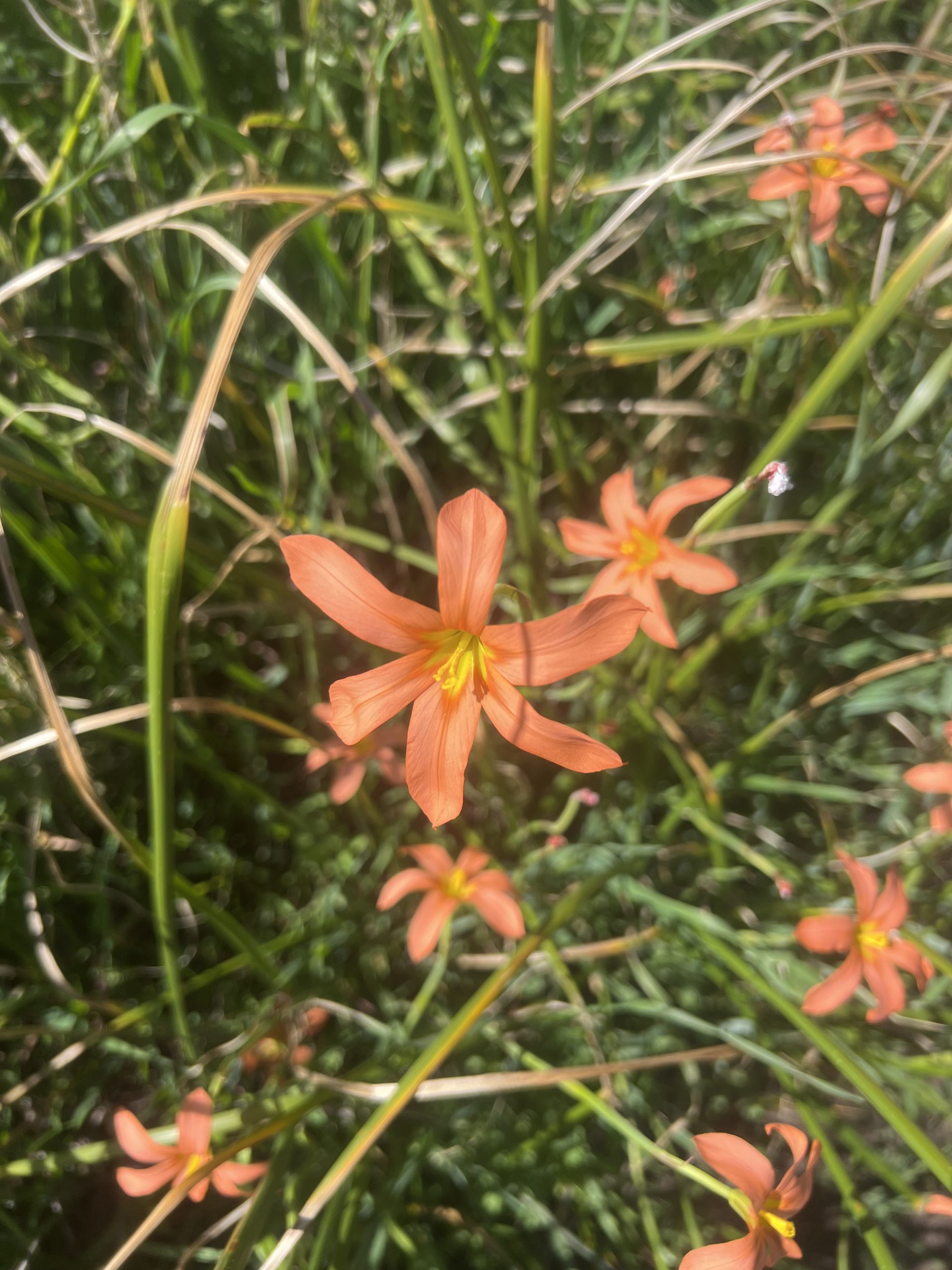
The path engulfed us like a traditional country hedge maze, head height on each side. Except this hedge was exploding with the delicate pinks, oranges, yellows and whites of the Western Australia wildflower season.
Rounding a corner the path opened up onto our first full view of the Indian Ocean and the first of many viewing platforms. “Whale!”
Two humpbacks breaching just offshore had me mesmerised…until I remembered that I was just 3km into my 130km hike of the Cape to Cape Track.
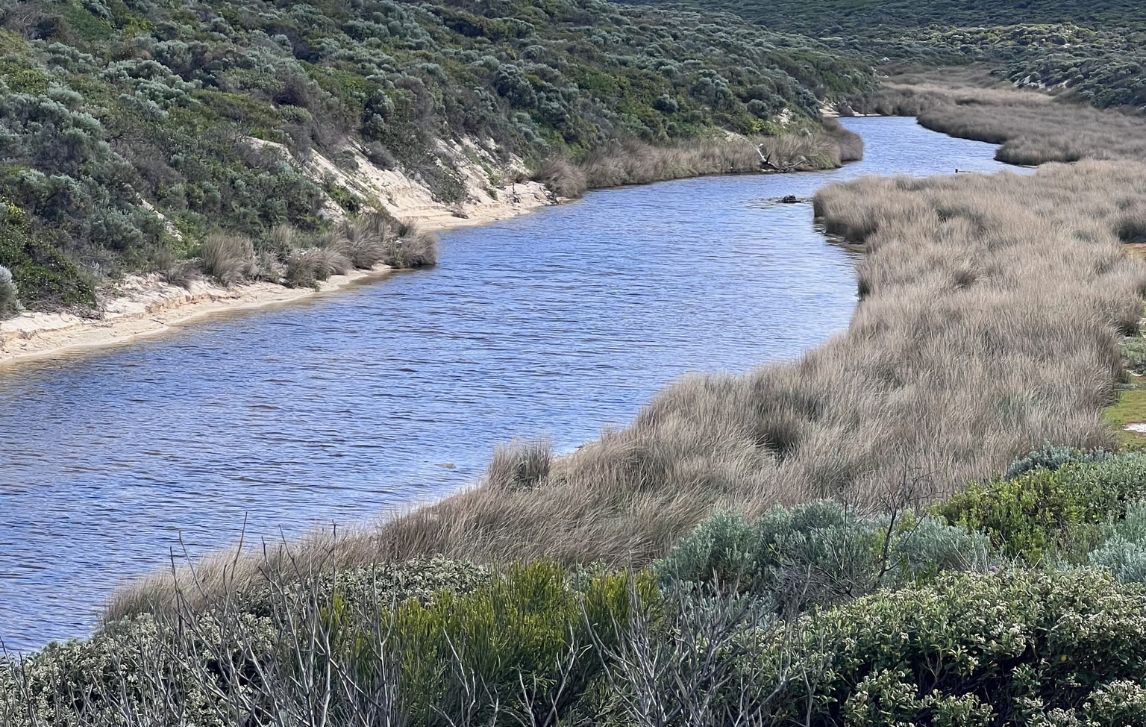
Cape to Cape is a coastal walk from Cape Naturaliste to Cape Leeuwin in Wadandi Boodja – the Margaret River Region of Western Australia, traditional lands of the Wadandi people.

We had chosen the self-guided option, and had driven that morning from our motel in Margaret River to the end point of Day 1, at Yallingup. There we were met by the effervescent Cy, who drove us to the start point at Cape Naturaliste lighthouse and gave us tips for the route that day.
The route is really easy to follow. In most places the blue and yellow trail markers show the way, but the RAW Travel App was a handy back-up, with the reassurance that if your dot was on the pink line you were going the right way.
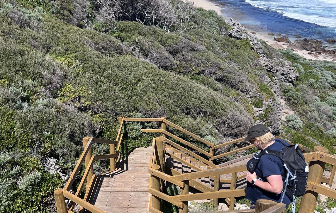
However coastal does not mean flat. As you wind your way along the coast you are continuously climbing each headland, and descending to each creek crossing. Thankfully the reward at the top of each climb is low vegetation and sweeping views out over the cliffs to the ocean.
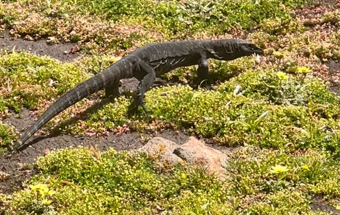
Each day brings something new to discover. The rock formations of day 2 were one of my absolute favourite. Deep orange hues and with beautiful little wildflowers growing out between the rocks. Forced to stop for a while as we waited for a lazy bobtail lizard to move from its sunning spot on the trail.


In competition was Day 3 from Moses Rocks to Gracetown, a stunning section of mostly single track, with so many flowers at every turn. The track was smooth and runnable and at one point I jogged about 2km in the beautiful sunshine, feeling like the only person in the world.
While I’m told 44,000 people walk this track each year, I never saw more than 10 over a whole day. Probably because most are walking in the same direction: north to south.
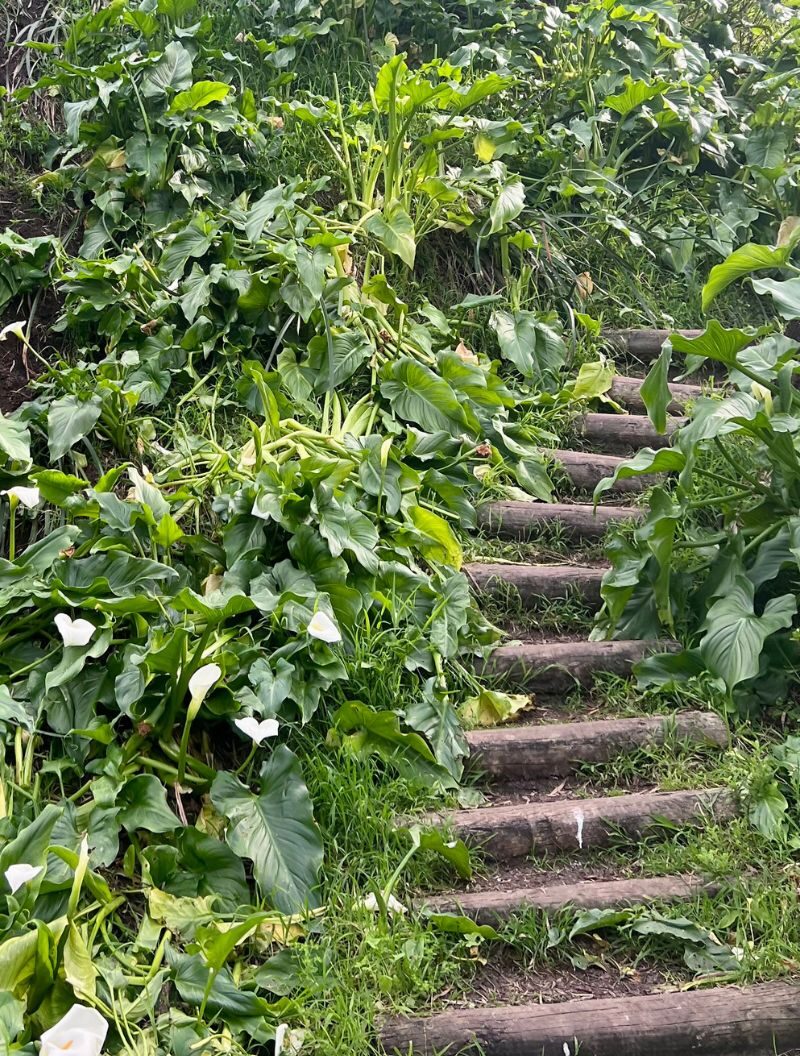
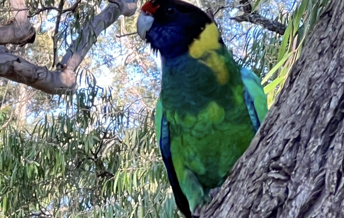
Cape to Cape Day 4 took us through Mokidup, a traditional summer camping spot of the Wadandi people. Mokidup has excellent interpretive signage, with drawings by Noongar artist Sandra Hill showing the plants and animals that sustained the Wadandi across the year’s six seasons.
The trail takes you to the grove that is the place of the legend of Meekadariby – and a large format waterproof book allows you to read the legend at its home. Mokidup is a place of settler history as well; the site of Ellensbrook House, settled by Alfred Bussell in 1857.
On day 5 we reached the point where a major bushfire swept through in November 2021 and the landscape is scarred. Trees here were no more than blackened branches. But the new growth was almost fluorescent green and provided a carpet over the sand and soil. It is both sad and a story of new beginnings.
The forest section on days 5 and 6 is supposed to be a highlight due to the age of the trees in this region; however, the fire damage was severe and the trail has only just re-opened.
Heed the signage here and stick to the path: the trees on the trail have been checked for safety but those off the trail have not. And with strong gusts blowing as we passed, there were damaged trees falling off trail but within sight and hearing.
We were so lucky with the weather, but day 5 ended with wind and spitting rain, whipping onshore and reminding us of the power of nature. We were glad to reach our car and escape to our warm motel room. This trip has been excellent in that way – enjoying the day outdoors, but sleeping in a comfortable bed at night.
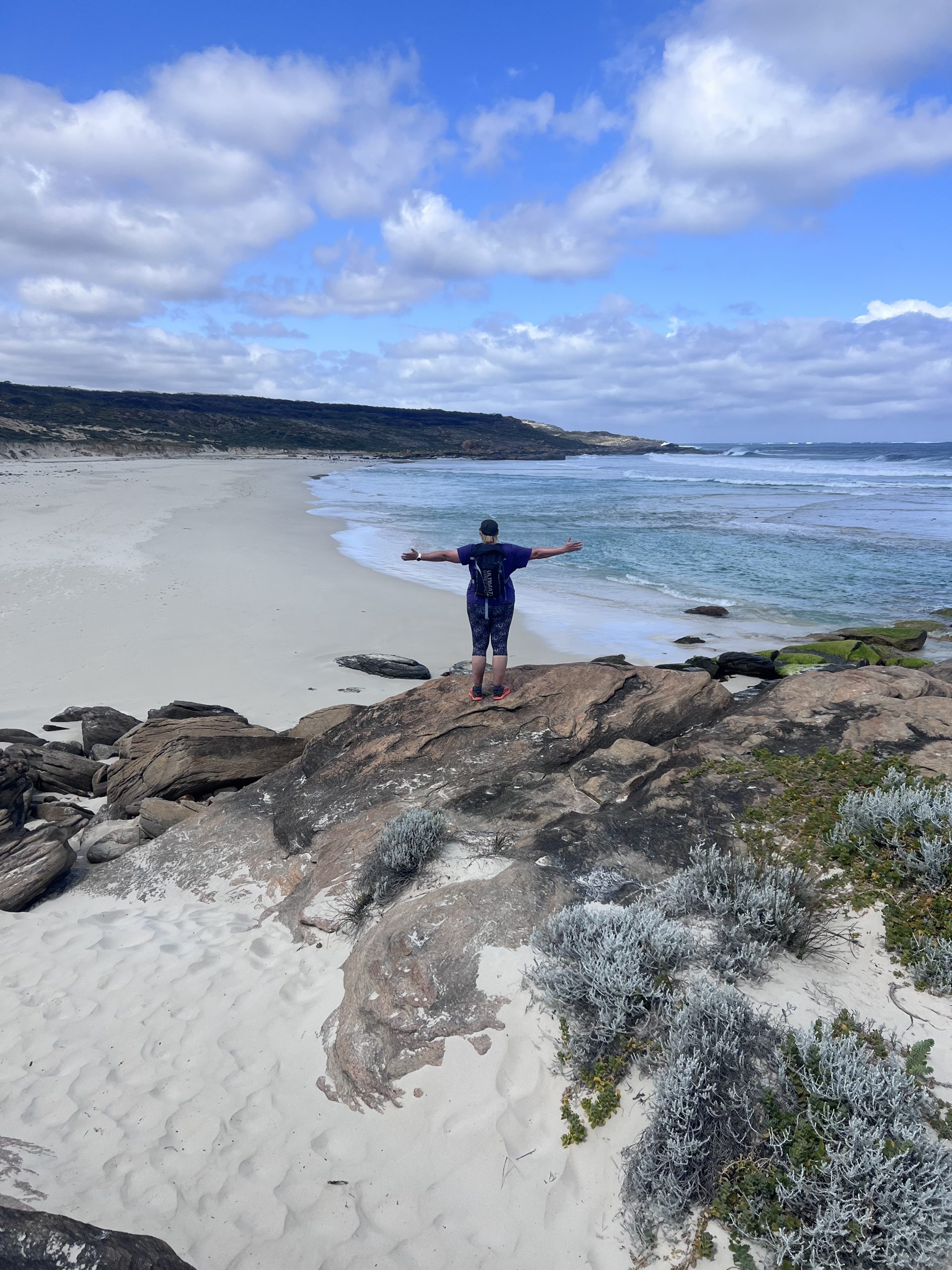
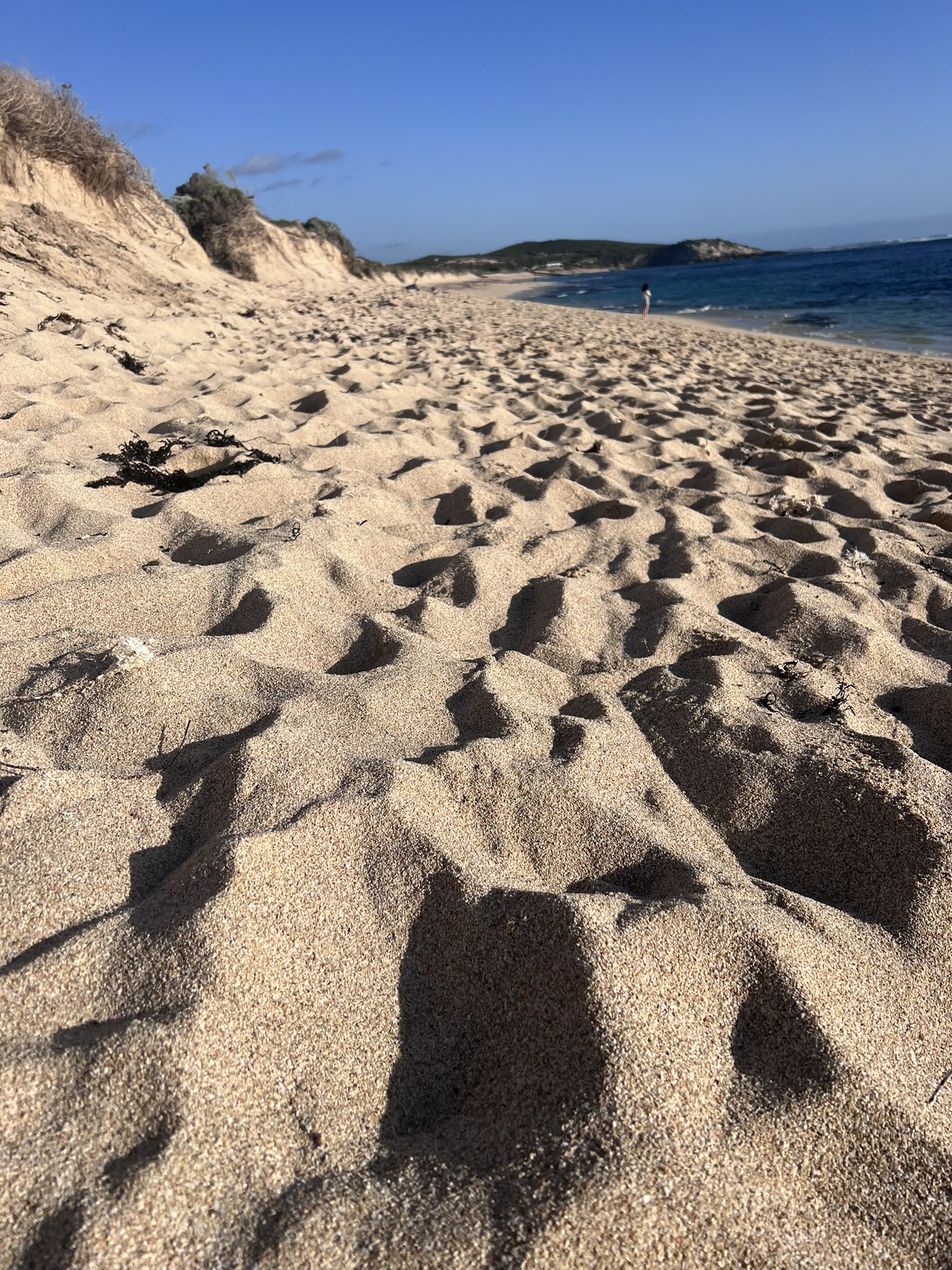
Day 6 was all about the beach walking – along stunning beaches, with shining white sand and turquoise crystal clear water.
The longest today was 7km in one stretch. And unlike the east coast beaches I’m used to, here the sand is soft all the way to the water, giving the calf muscles a serious workout!
I’d like to say there was spring in my step at the start of the last day, but to be honest the 110km over the last 6 days was very much felt in my legs. These last 20km were as beautiful as the rest of the trail, and we even had something new!
Early in the day you pass a series of blowholes. As the weather was fine, these were gurgling for us rather than spurting, but it was very cool to look down inside each of them at the water entering below.
Crossing our last section of red rock, the tiny lighthouse that is the finish line comes into view. Disappearing and reappearing as we round each bay until finally – WE WERE THERE!
A celebratory sausage roll at the Lighthouse café, and this amazing 7-day journey was over. While there are many ways to hike this trail (full pack, day pack, single days over a longer period), I really enjoyed this self-guided, day-pack only option – everything looked after but the freedom to hike the pace we wanted each day.
Thank you, RAW Travel, for such an amazing trip!


Written By
Tamara Loschiavo
Tamara is RAW Travel's New Zealand Destination Expert. She specialises in crafting unforgettable hiking experiences and sharing first-hand insights about her own experiences on the Queen Charlotte Track and Abel Tasman Coast Track. With a deep passion for exploring the world's most scenic trails, Tamara brings a wealth of knowledge to those seeking extraordinary walking journeys.