06 Jul 23
Training for the Via Francigena
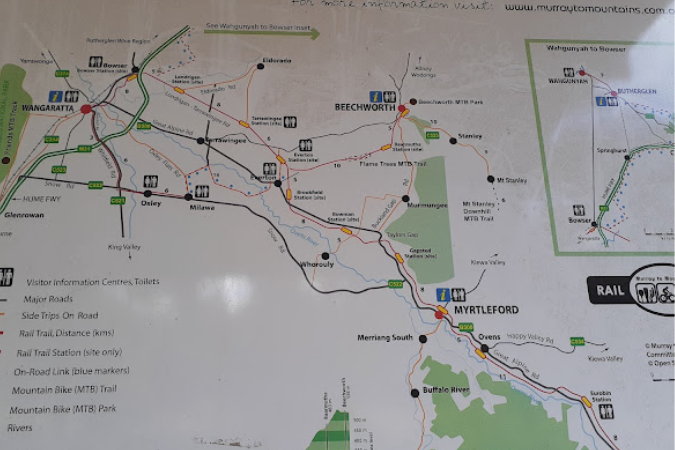
Last month, Eleanor and Kel from Benalla in Victoria hiked their way through the heart of Tuscany from Lucca to Siena on Italy’s Via Francigena – a route that winds along cypress tree-lined roads and olive groves, through undulating countryside and to the region’s famous medieval hilltop towns. To prepare for their 128km journey, they built up their walking fitness over a period of 4 months, using the state’s historic rail trails and beautiful national parks as their training ground (highly recommended!).
For most of the past 30 years I have been a regular 6km-a-day walker, that was until COVID sent us into isolation. Prior to COVID we had booked to do a 120km section of the Camino de Santiago in Spain but of course that didn’t come about, and I pretty much gave up walking more that a couple of kilometres some days.
Italy is our passion and we had been aware of the Via Francigena, the pilgrimage route from Canterbury to Rome, for some years. Having travel credits, including one with RAW Travel, I started thinking about long-distance walking again.
And so we booked to do a similar distance on a short section of the Via Francigena where, all importantly for us 75 year olds, RAW Travel organises the accommodation and the transfer of our luggage each day. All we needed was a small day pack with essentials, food and water, trail notes and a GPS app on our phones.
Well, not quite all! We needed to get hiking fit. RAW provided a 4-month training plan and we have been doing our best to build up our skills.
One of us is a gym junkie, the other definitely not! In February I worked up to the old habit of 6km, then together we extended to 9km. This was a good testing time for footwear and clothing.
We live in north east Victoria where the terrain is flat and somewhat boring if you are walking the same route every day. We needed to travel further afield to start our walks. The rail trails were a good option.
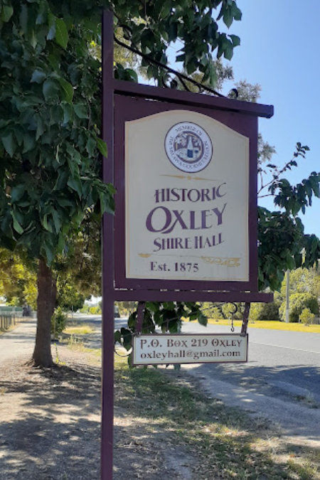
In March we travelled to Oxley and walked to Milawa and back, an easy walk on a sealed pathway but hot and lots of noisy traffic on the Snow Road beside the track. We walked 12.25km with a coffee break in the middle. We were happy and so were our feet.
The following week we joined the Murray to the Mountains Rail Trail at Everton Station and walked to the third Diffey’s Road crossing, then returned. This was a really pleasant walk with 166m elevation gain, at last some rise in the route.
Fifteen kilometres handled well and boosted by home-made energy balls as snacks.
-

- Walking Everton to Beechworth
-
- Warby Ranges
-
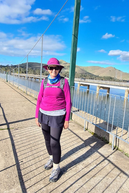
- Lake Eildon and Bonnie Doon
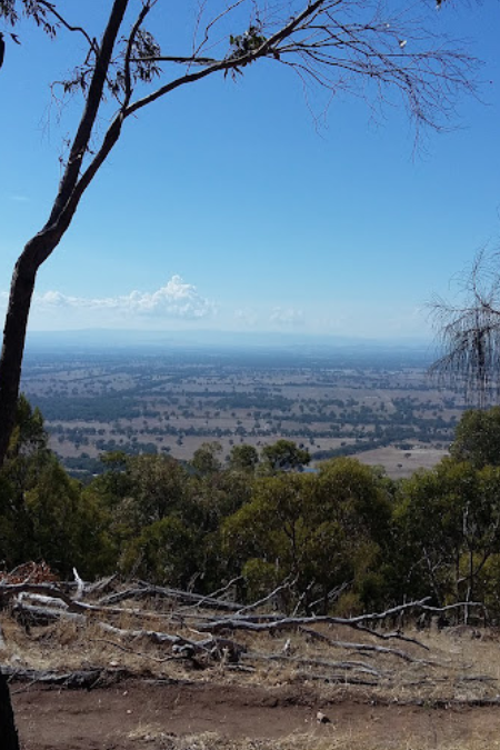
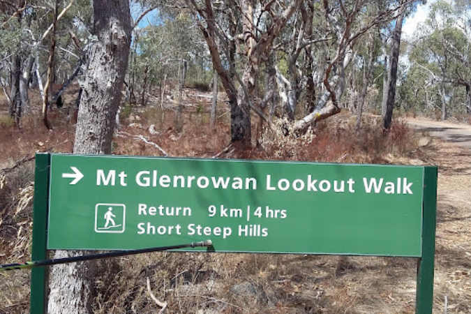
We continued to do 10km walks around town, around the lake, in the State Park and on varied terrain between longer walks. The Warby Ranges provide challenges for the less strong and the Ridge Track to Mount Glenrowan was one such challenge for me. A great view from the top, a snack lunch in the shade but oh, the pain in the legs and toes coming down! It had to be doing me good.
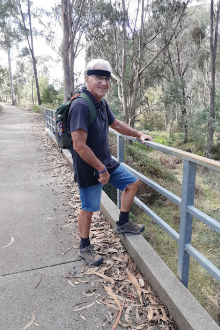
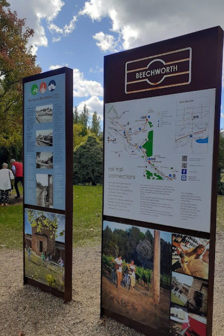
Our next task was to complete the Everton–Beechworth walk. We drove to the Diffey’s Road point where we turned around last time, parked the car and set off up the hill. This was basically a steady climb all the way to Beechworth. This walk was a joy! Beautiful scenery, trees and rocks, vineyards, native vegetation regeneration, even a picnic table, and then a lovely walk into town which was being used by locals for their daily stroll, often with dogs. There were lots of people on bikes going down hill, not sure how they were coming back up the hill.
Beechworth is the home of the famous Beechworth Bakery so of course that provided a well earned lunch and rest spot.
The day’s walk was 19.47km and we are beginning to think we can actually do this walk in Italy. Of course, we are not ending the day with a killer climb up to a hilltop village!
After the first few walks I felt fine in the leg muscles on day one, a little sore on day two and sorer on day three. By now I wasn’t feeling any soreness. Very pleasing.
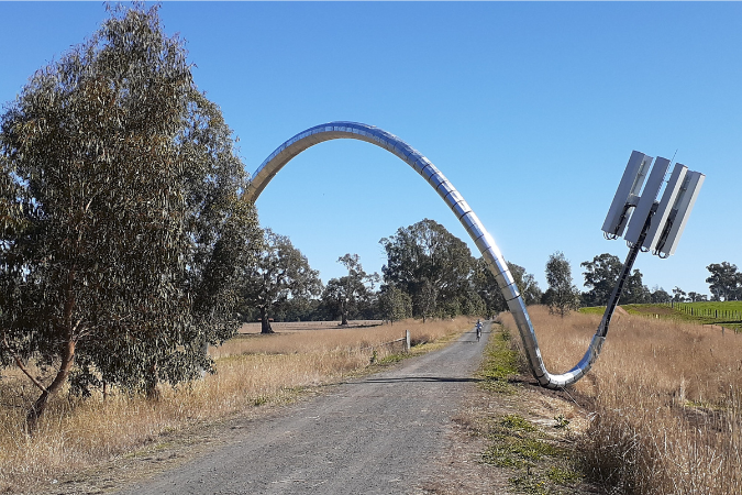
So that was 2 months of training gone by already. Next we drove to Mansfield and joined the Great Victorian Rail Trail. This trail is also beautiful, iconic Australian scenery with lots of interesting things to look at. A recently installed art work captured our imagination. It hasn’t been officially opened yet so we don’t know its title but ‘Communication Meltdown’ came to mind, our son suggested ‘Generation Separator’.
We walked almost to the Maindample turn-off on the Midland Highway, and returned, a distance of 18.2km.
These trips are very enjoyable but they require a 45-minute drive before we start, and we needed more challenges. Hamilton Park, a housing estate near Glenrowan offered plenty of ups and downs so we trudged from Glenrowan to H.P., around the roads a couple of times then back to town. Fourteen kilometres, averaging 13.27 minutes per km.
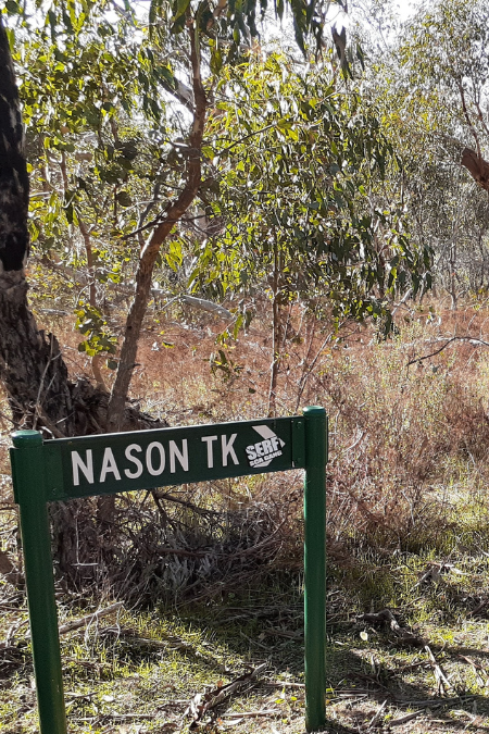
Reef Hills State Park is near home. It has a variety of tracks to follow, some elevation gain, is rough underfoot but a great place of natural bushland and wildlife. We took the outer loop, always keeping right at junctions and managed to cover almost 13km.
This day taught us that we do need to stop and rest, we do need to heed hot spots and we do need to eat along the way. I think I anticipated a shorter walk and didn’t pack snacks.
Now it is May and the weeks are running away from us. I have returned to the old idea of walking up and down the steps of the cricket pavilion … boring but effective. The weather has become much colder and wet, and not at all conducive to 3 to 4 hours of walking, but with only weeks to go before we leave we cannot slack off now.
-
- Oxley to Milawa
-
- Warby–Ovens State Park
-
- Beechworth walk
It was a sunny day today (but only 10 degrees) so off we went … a 40-minute drive to Maindample and then back on the Great Victorian Rail Trail for a delightful walk to Bonnie Doon and back.
After 17.6km I knew I had traversed a few hills and gullies, but we barely noticed at the time as the scenery was gorgeous.
We walked by Lake Eildon and across the bridge to Bonnie Doon where the serenity was totally ruined by screeching cockatoos.
Lovely as these rail trails are, they do not provide many hills. Often we walk through railway cuttings and think of the steam trains that would have appreciated the easier route. But we need hills!
Back to the Warby Ranges State Park for some more challenging terrain. Then back to the Great Victorian Rail Trail … 18km from Maindample walking uphill towards Mansfield. We average 5km per hour. Then even more hill walking in the Warby Ovens State Park!
We’re ready!
All photos and text courtesy of Eleanor Macnamara. Reproduced with permission and thanks.
-

- Newly installed public art on the Great Victorian Rail Trail
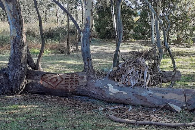
-
- Scar Tree, Art Trail Project, Mansfield
-
- Everton to Beechworth walk
-
- Short steep hills and unparalleled views of the High Country
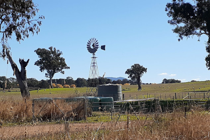
-
- Iconic scenery on the Great Victorian Rail Trail
-
- Mountains Rail Trail