
length
8 Days
difficulty
Moderate
trip cost
From $2795pp
Nature Immersion
Cultural Interest
Overview
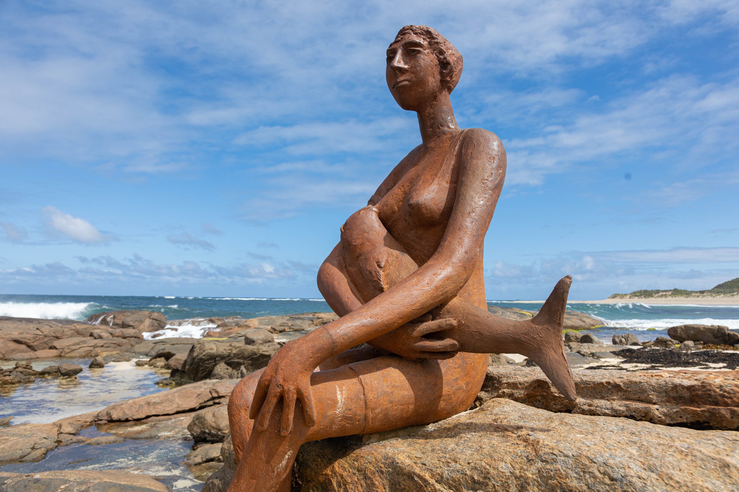
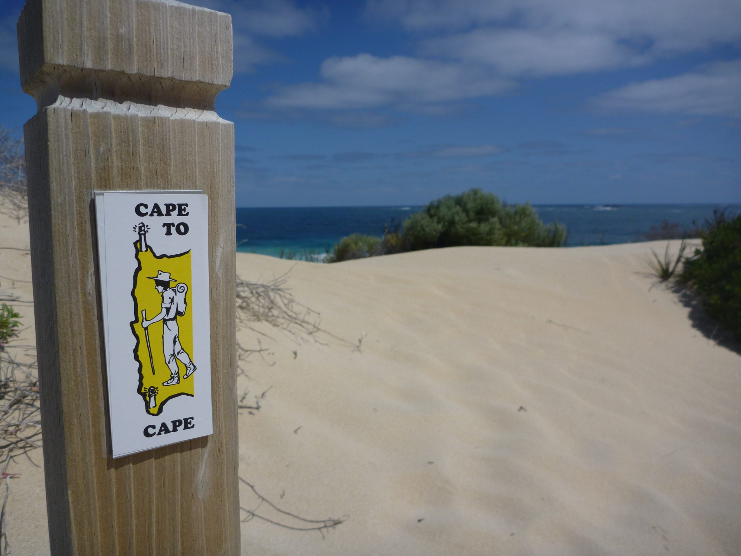
Cape to Cape Track Deluxe
This 8 day trip along the gorgeous Cape to Cape Track embraces the beautiful West Australian coastline walking from Cape Naturaliste lighthouse to Cape Leeuwin lighthouse following the protected Ngari Capes Marine Park. Scenic coastal trails meander inland through the spectacular Boranup Karri forest before finishing with stretches of beach walking along pristine white sand and paths of pretty coastal heath.
The 135km track is usually walked from north to south following the glorious Leeuwin-Naturaliste Ridge. The ridge has a fascinating geology including soft Tamala Limestone which over millions of years has formed a massive network of caves, cliffs and coastal shelves. This landform combined with dramatic outcrops of ancient granite rocky outcrops defines the trail to create a spectacular showcase of natural beauty.
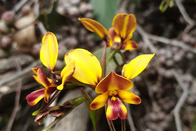
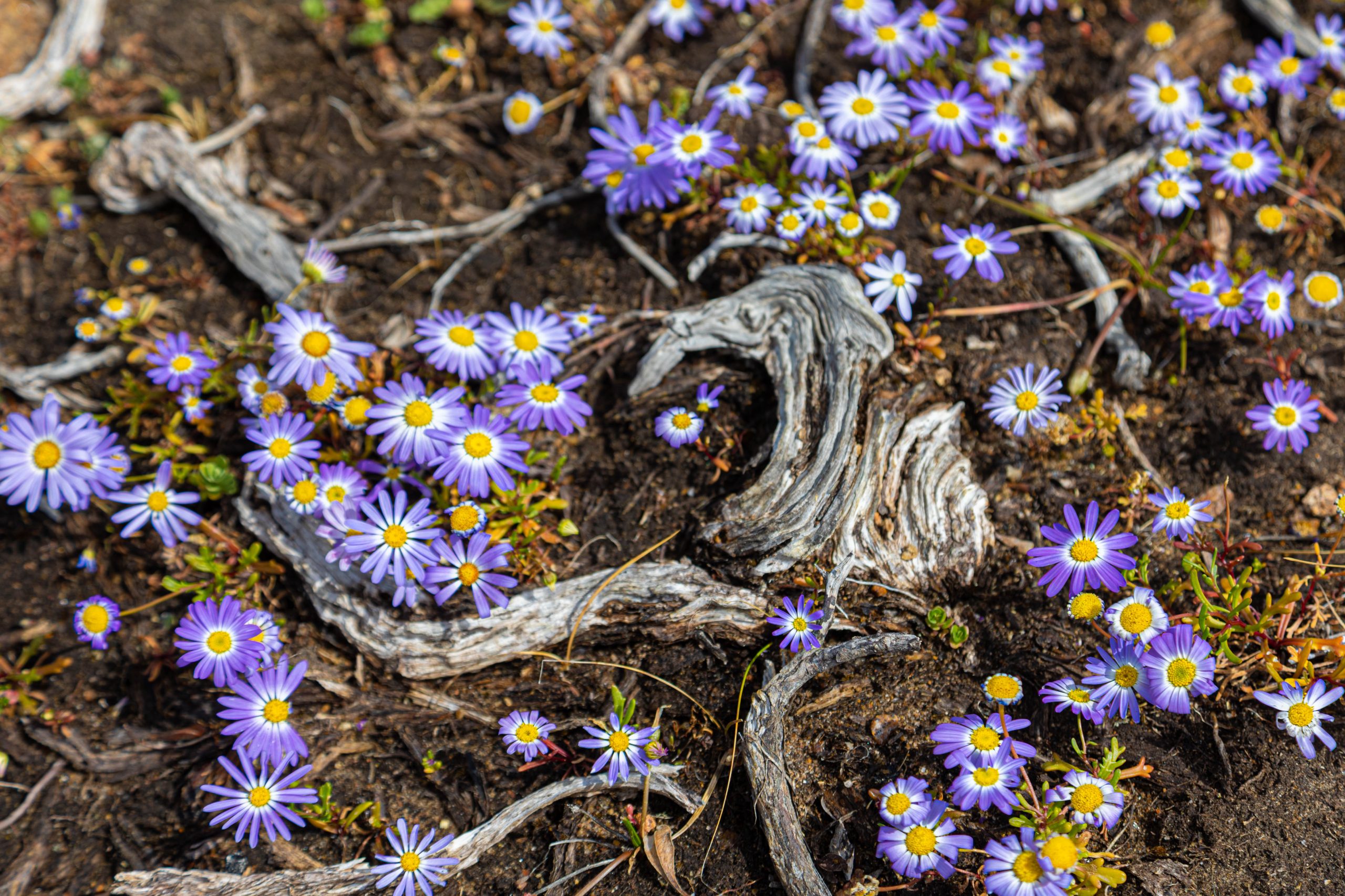
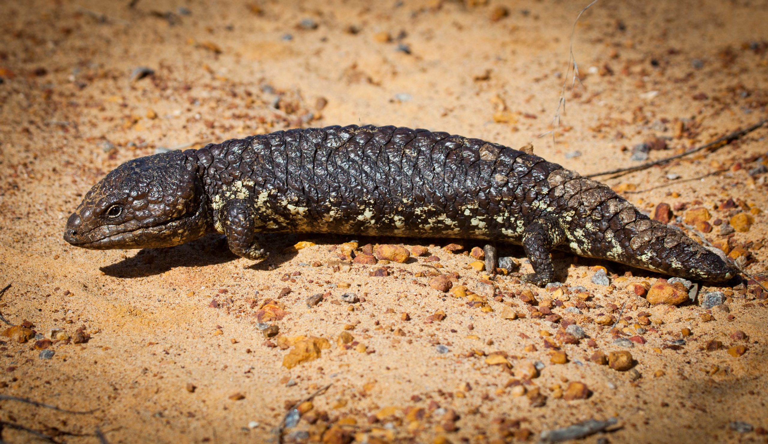
The South West region of Western Australia, including the Cape to Cape Track, is nestled within a global biodiversity hotspot. The entire area stretching from Shark Bay to Esperance is home to approximately 8,000 different plant species. Nearly 80% of these plants are endemic to the area and found nowhere else in the world. Another reason this walk is so special. The diverse landscape combined with the fascinating flora and fauna including native orchids such as fairy, snail, donkey and spider make this walk a joy.
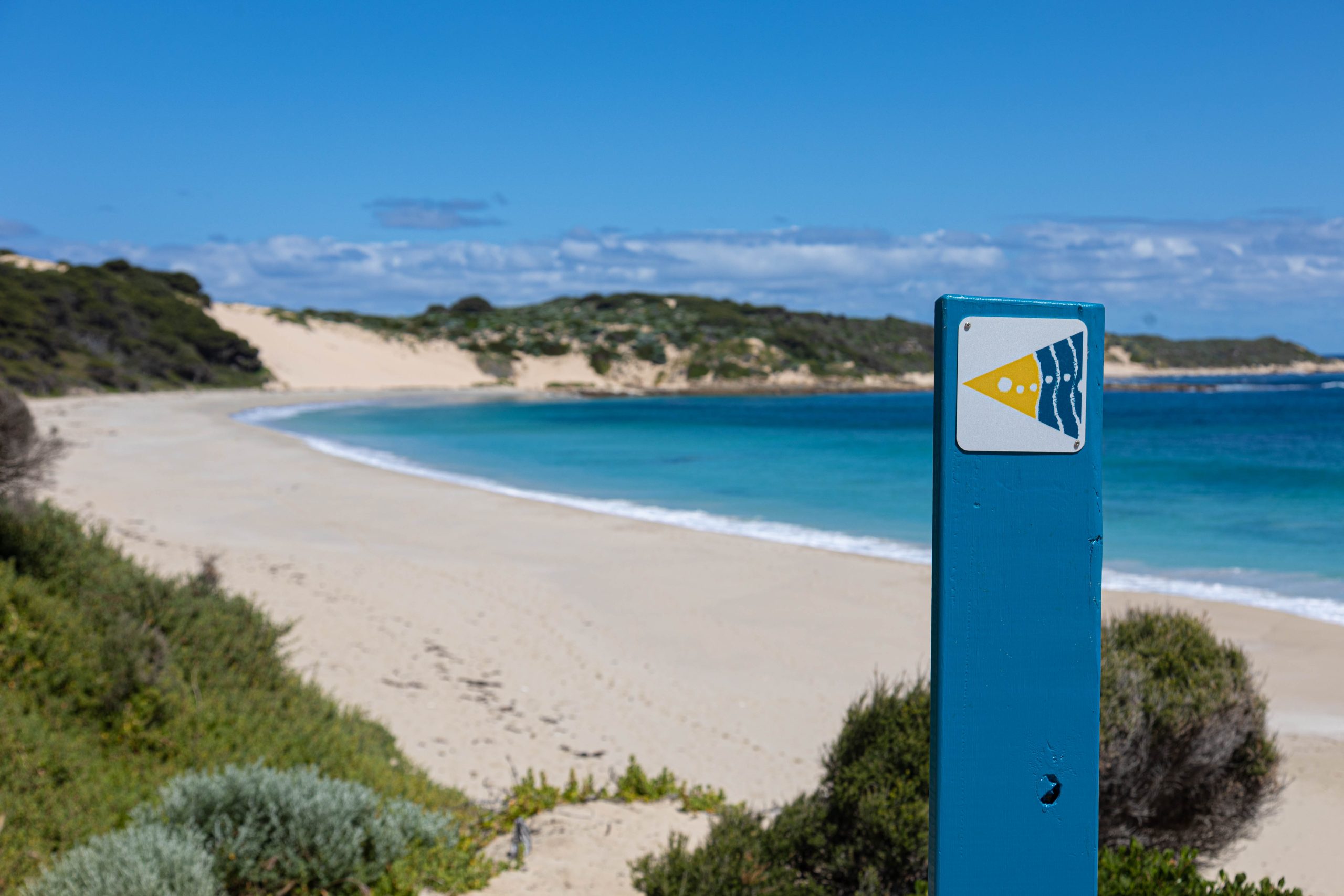
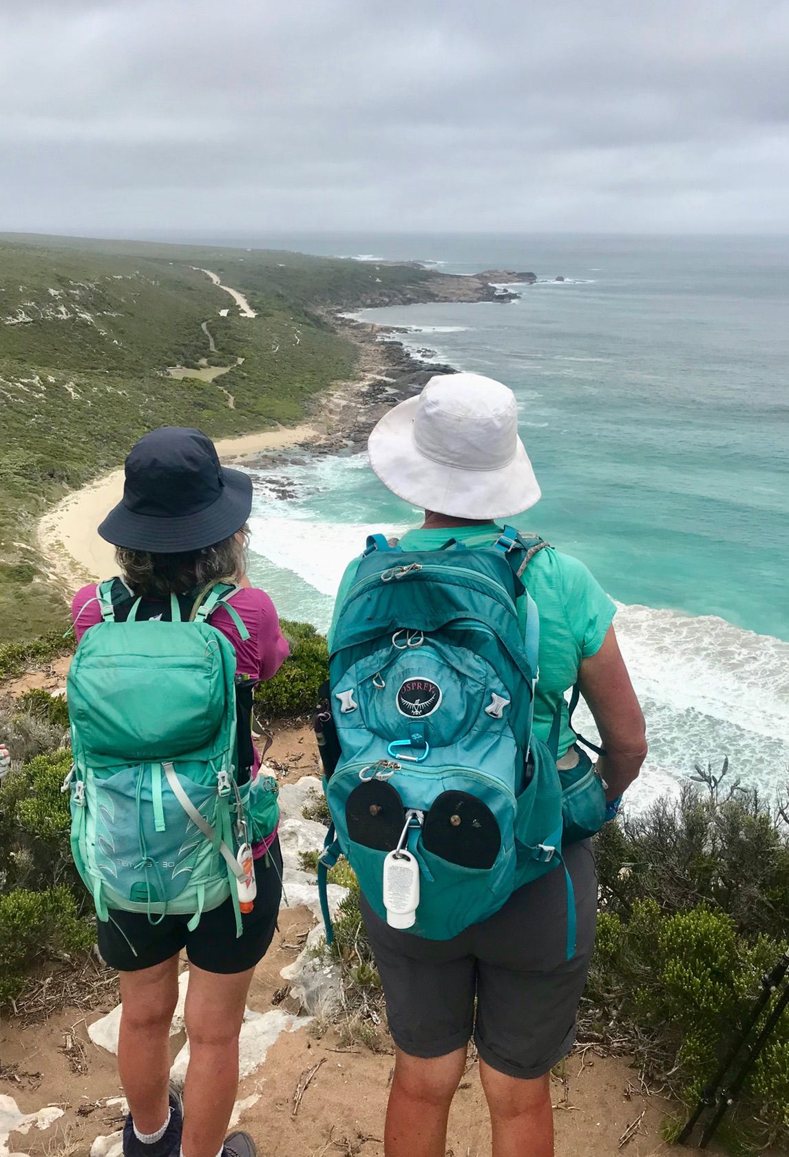
The trail is well sign-posted and perfect for self-guided hikers. The path never diverts too far from the stunning Indian Ocean where you can enjoy white sandy beaches and fabulous swimming. Not to mention the walk falls within the world-renowned Margaret River premium wine growing region.
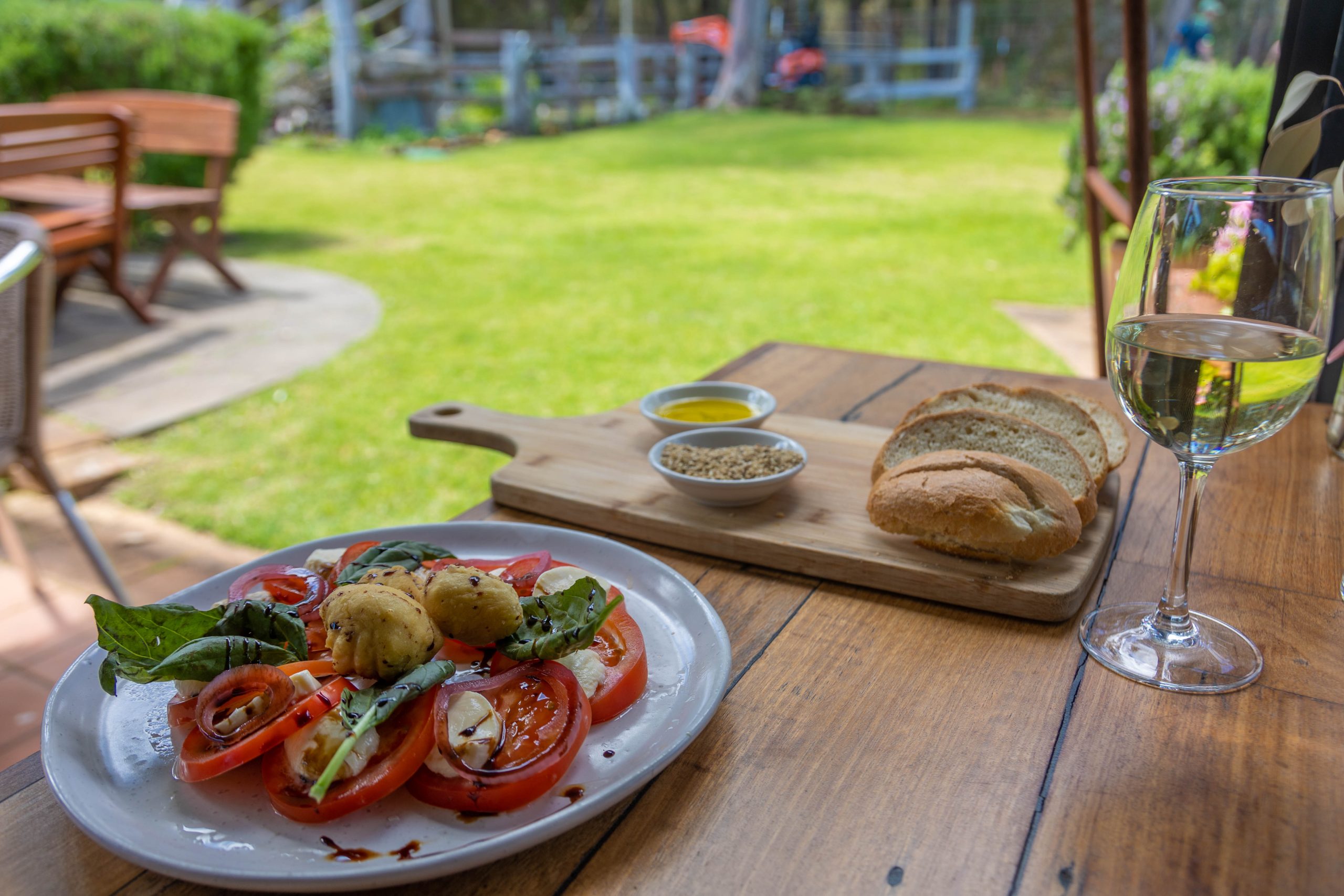
This deluxe walk offers premium accomodation which also includes deluxe breakfast with hot and cold options as well as gourmet packed lunches prepared fresh each day to take on your journey.
![]() Ask us about adding on an extra night or two of accommodation before or after your hike, or even a rest day in the middle, to give you more time to enjoy the local produce of the world-renowned Margaret River region and its stellar food and wine offerings.
Ask us about adding on an extra night or two of accommodation before or after your hike, or even a rest day in the middle, to give you more time to enjoy the local produce of the world-renowned Margaret River region and its stellar food and wine offerings.


Highlights
get ready for
- Pristine Beaches
- Limestone Cliffs
- Karri Forests
- Iconic spots such as Cape Naturaliste Lighthouse, Canel Rocks, Meelup Beach and Cape Leeuwin LIghthouse
- Premium accommodation
REVIEWS
WHAT OUR CLIENTS SAY


We’re just back from our 5-day Cape to Cape hike and wanted to share what a great time we had. Cy was excellent with all the driving and his knowledge of the area. Vi at the Kingston bakery was brilliant and the Higgins motel was fine. The wildflowers and the whale watching from the track were brilliant. Thank you for the seamless organisation.
Bruce & Margaret Latham, Kangaroo Gully (WA) – October 2024
Cape to Cape was a stimulating walk along a wild coastal area. I loved walking in the Karri forest. Special mention to Cy Fort (transport driver) for making the trip more worthwhile.
Jeff Jarratt, Cremorne (NSW) – July 2024
Magnificent pristine coastal walk. Enjoyed the walk in the company of my daughter and her family.
Elizabeth Salkeld, Mount Tomah (NSW) – November 2023
The scenery was amazing and the wildflowers were just starting to come out. Margaret River Guest House was amazing – nothing they could have done better. We left early to start walking before breakfast was served and they left food for us, and our lunches were in the fridge. Cy our driver was great; very informative and lots of tips as he is a local.
Sandy Burns, Malvern (SA) – August 2023
Great trip! RAW organised all the difficult aspects to make it smooth and easy. Enjoyed the vast terrain on the walk and the ease of eating dinners out in Margaret River. Accommodation was very central, clean comfortable and spacious.
Elyse Schweitzer, Woodlands (WA) - April 2023
Excellent trip! The accommodation was excellent and being able to be transported to the start and finish of our daily walks provided extra comfort. The food on the trip was also of good quality and ample.
May 2022
A spectacular walk, well organised and not rushed, and backed up by a great company that walks the trails and knows how to make your multi-day walk adventure a treat for the soul.
April 2022
Itinerary
Daily Details
Day 1: CAPE NATURALISTE LIGHTHOUSE TO YALLINGUP (14km)
We recognise and acknowledge Wardandi people as the traditional owners of Leeuwin-Naturaliste National Park.
Drive to Yallingup Beach carpark to transfer with your private driver to Cape Naturaliste lighthouse to begin your walk. If you are driving from Perth or elsewhere, we recommend you start no later than 12.30pm to allow yourself enough time to comfortably walk back to your car. The first 3km is an easy stroll on a wheel-chair friendly hard surface, look out for wildflowers including orchids on your left-hand side just after the registration point.
Divert from the track to the impressive Sugarloaf Rock, a massive granite outcrop, impressive local landmark and good viewing point for seabirds, and if you are lucky, bottle-nose dolphins, Humpback or Southern right whales from July to October. On arrival in Yallingup take time to linger on the beach and watch the talented local surfers take on the swell at the famous surf break.
Meals: Lunch
Day 2: YALLINGUP TO MOSES ROCK (18KM)
Before setting off this morning there is usually a coffee caravan at Yallingup Beach car park if you fancy watching surfers and (hopefully) playful dolphins take on the world-famous surf break. Savour the changing geology as you approach the enormous granite rocks towards Canal Rocks. These rocks formed between 1,000 and 530 million years ago – constant battering from waves has weakened the rock over time to form the distinctive channels.
Enjoy pleasant hiking for the remainder of the day as you follow the ridge past Injidup natural spa and beach. Weave your way through coastal tea-trees before a steady walk on 4WD tracks which descend onto the beach just before Quinninup Falls. The falls are hidden approximately 300m off the track but well worth a visit and swim if you’re inclined. A short sharp sand hill climb opens to flat heathland before finishing at Moses Rock.
Meals: Breakfast / Lunch
Day 3: MOSES ROCK TO GRACETOWN (16KM)
Look out for kangaroos on the ridge to your left-hand side as you begin today’s walk. Follow the track over limestone headlands to reach Wilyabrup Beach and a sometimes tricky creek crossing – exercise caution and cross slightly upstream away from ocean waves.
At the top of the cliff-top staircase catch your breath and take in the views as you look for abseilers. The climb is well rewarded with a beautiful seascape vista as the track meanders high above the Indian Ocean before dropping down to the beach below. From here the walk makes its way through lovely coastal vegetation with seasonal wildflowers and fascinating granite outcrops. Enter a pretty tea-tree thicket before a rocky scramble down and around the point to tiny Gracetown nestled around beautiful Cowaramup Bay where you can relax and enjoy a swim.
Meals: Breakfast / Lunch
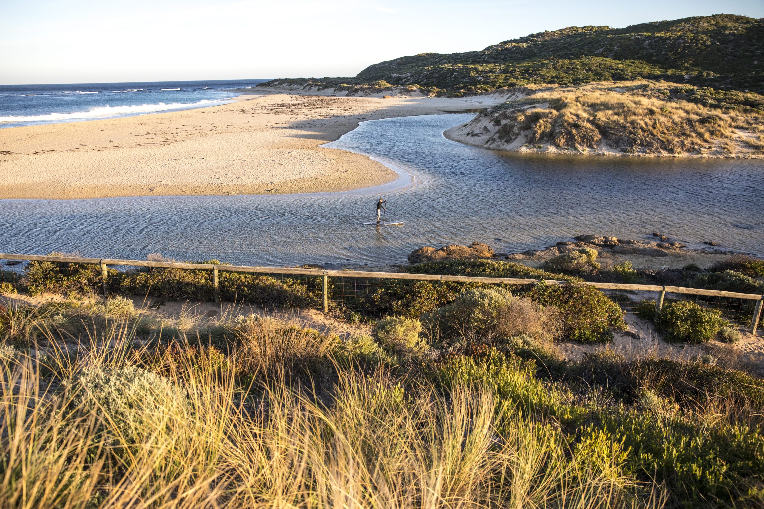
Day 4: GRACETOWN TO MARGARET RIVER MOUTH / WALLCLIFFE RD (20KM)
Enjoy every step you take as the path hugs the coastline before meandering inland to historic Ellensbrook Homestead, the home of early settlers Ellen and Alfred Bussell. From here the trail moves past Meekadarabee Falls, a significant Aboriginal site which according to DPaW means ‘bathing place of the moon’.
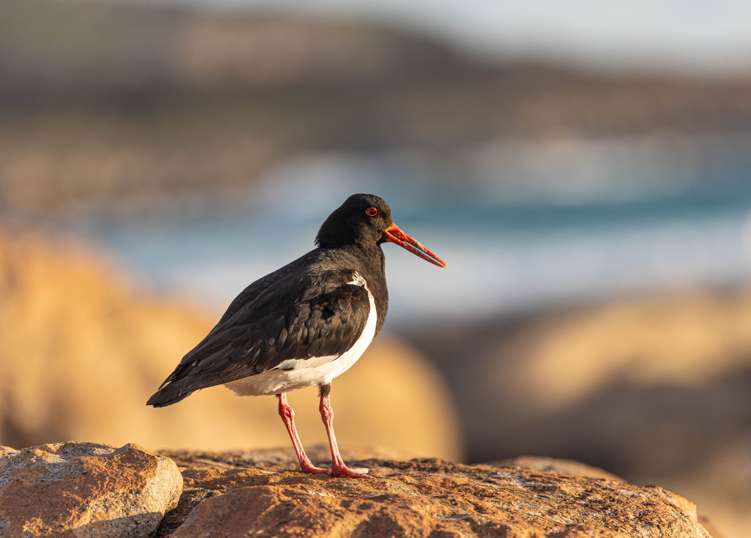
There are a couple of steep hills to climb before you can enjoy good views from the top of the ridge. Thick vegetation lines the trail on either side enveloping you as you walk. It is wonderfully picturesque especially when pink Pimelea and other flowering plants are blooming. Soon you drop onto Kilcarnup Beach which is home to numerous plovers, oyster-catchers and other shorebirds. The sand is usually firm and offers an opportunity to shed your hiking boots if bare-foot beach walking is your preference.
From here it is a short walk across Cape Mentelle to Margaret River mouth where you will need to assess the best place to cross the river before finishing with a short uphill walk to Wallcliffe Rd.
Meals: Breakfast / Lunch
Day 5: WALLCLIFFE RD TO BORANUP FOREST / HOOLEY RD (24KM)
The longest section of the Cape to Cape Track begins among bushland on unused 4WD tracks to descend 300+ steps to sheltered Boodjidup Valley. Consider taking morning tea among the Arum lilies – an invasive but nonetheless pretty weed from South Africa. The sheltered path exits onto the coast which you follow until Redgate Beach famous for a daring rescue of shipwreck survivors by local Aboriginal man Sam Isaacs and Grace Bussell, 16 year-old daughter of Ellen and Alfred Bussell mentioned previously.
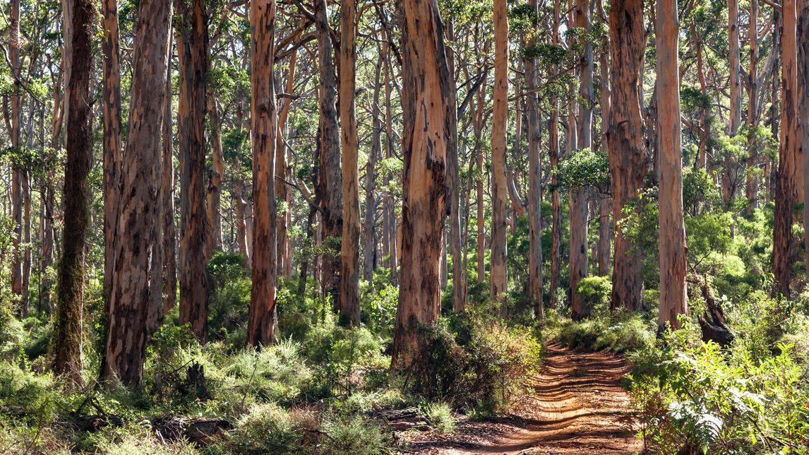
There are more stunning views as you climb to the top of the ridge and follow the pathway to Bob’s Hollow. The section from Bob’s Hollow to Contos Campground is arguably the most spectacular of the entire walk – make sure you savour the incredible turquoise seascape. The day finishes among the magnificent Boranup Karri forest where you can look for seasonal orchids and forest-loving fungi.
Meals: Breakfast / Lunch
Day 6: BORANUP FOREST TO COSY CORNER (21.5KM)
Embrace the change in vegetation while marvelling at the magnificence of the world’s third tallest tree. Feel your connection with nature, listen for birdsong but also to the silence of the karri forest – the Japanese call it ‘forest bathing’ and it’s more important than ever we allow ourselves time and space to immerse ourselves in it.
Before too long you will be on beautiful Boranup Beach where the 7km walk will either delight or dismay you. Whatever your state of mind, we suggest you use this time to let your thoughts drift and enjoy the mediative rhythm of your steps. Treat yourself to a quick swim in the crystal clear waters of Hamelin Bay, where you may be lucky enough to see their famous resident stingrays, before a final push past the quirky Foul Bay lighthouse to Cosy Corner.
Meals: Breakfast / Lunch
Day 7: COSY CORNER TO CAPE LEEUWIN LIGHTHOUSE (21.5KM)
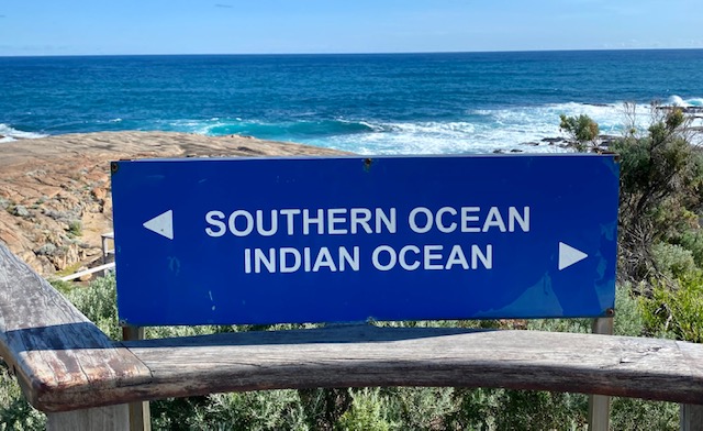
The reward for your efforts on the Cape to Cape Track slowly begins to reveal itself on your last day. The trail starts with a fascinating walk on an ocean-hugging limestone platform. The rocky shelf consists of a series of small blowholes which surprise and delight especially if the ocean swell is conducive to making them ‘blow’! The excitement of seeing your first glimpse of the Cape Leeuwin lighthouse as a tiny speck drives you onwards along one of the longest beach sections of the walk. Immerse yourself in the beauty of one of long-distance hiking’s most beautiful final sections. Amble the last few kilometres of the glorious Leeuwin-Naturaliste ridge embraced by low growing coastal heath. Reach the historic water wheel, and unofficial finish of the Cape to Cape Track with a woop woop or high-five! Then celebrate your official finish at the lighthouse where the magnificent Indian and Southern oceans meet.
Meals: Breakfast / Lunch
Day 8: DEPART MARGARET RIVER
Check out anytime before 10am – there is plenty to experience before you leave the Margaret River region including wineries, breweries, cafes, chocolatiers and farmer’s markets.
Meals: Breakfast
Map
Cape to Cape Track map
Cape Naturaliste Lighthouse
The Cape Naturaliste Lighthouse is one of the most popular attractions in the Margaret River Region. Only 13km from the town of Dunsborough, the Lighthouse and cottages reveal the fascinating maritime history of the Cape region. From the viewing platform you will be rewarded with breathtaking panoramic views of the Indian Ocean, Cape Naturaliste, the Leeuwin-Naturaliste National Park and the beautiful Geographe Bay coastline.
CLICK ON A PIN TO REVEAL INFORMATION ABOUT THAT LOCATION
Yallingup
Yallingup means ‘place of love’ in the Wardandi Aboriginal language. This tiny coastal hamlet sits on the edge of the Indian Ocean and is famous for its world-class surfing. The viewing platforms all along the shoreline offer amazing. views. Yallingup’s award-winning wineries and boutique cellar doors dot the picturesque hillsides, with some even overlooking the ocean.
Gracetown
Tiny Gracetown is situated along the sweeping curve of Cowaramup Bay. This quiet coastal town of beach shacks offers good shallows for safe swimming. A small general store by the beach offers the essentials.
Boranup Forest
The towering pale-barked karri trees of the Boranup Forest are magnificent, with some reaching more than 60m in height. Pre-dominantly 120-year regrowth, the forest was originally milled during the late 1800s timber boom. But it is still impressive and holds a special place in the hearts of many locals and visitors alike. The area is also well known for its wildflowers and orchids that colour the forest floor in spring.
Hamelin Bay
Stunning Hamelin Bay is a vast expanse of bright white sand and turquoise waters, well known for the abundance of stingrays that frequent the shallows.
Cape Leeuwin Lighthouse
Cape Leeuwin Lighthouse sits at the tip of a spectacular peninsula where the Southern and Indian Ocean meet. The historic lighthouse is mainland Australia’s tallest lighthouse and is a must-see attraction. It’s also one of the best land-based vantage points for spotting whales (May to September).

Getting there
To/from your walk
If you do NOT have a car, your driver will transfer you to/from the start and end point of your walk each day. If you DO have a car, you can drive and park your car at the start or end point of each day’s walk. If you leave your car at the start point, your driver will meet you at the end of your walk at a designated agreed time and transfer you back to your car each day. If leaving your car at the end point, your driver will meet you each morning at the end point of that day’s walk and transfer you to the start of the trail. You can then drive yourself back to your accommodation at the end of your day’s walk. Experience tells us leaving your car at the END point of each day’s walk is the most convenient. It saves time waiting for a pick-up and you have more time to enjoy the area.

ON THE TRAIL
WHAT IT'S LIKE UNDERFOOT
The Cape to Cape Track has a varied underfoot surface, which can change a lot along the route. Beaches and sand some sections are soft sand
Rocky and Limestone Paths, coastal parts often have rocky tracks and limestone cliffs. Forest Trails usually have dirt or packed earth tracks
Variable conditions, after rain, some dirt paths can become muddy or slippery, so proper footwear is important.
Inclusions
What's included
Included
- 7 days self-guided walking supported by RAW Travel’s navigation app
- 2 nights premium accommodation in Yallingup
- 5 nights premium accommodation in a quiet location in the heart of Margaret River
- 7 delicious cafe style breakfasts, both hot & continental on offer
- Freshly prepared packed lunches of rolls, wraps, salads and pastries on your walking days
- Private daily vehicle transfers to / from the trailhead
- Pre-trip planning, guidance and support from our experienced team
- Emergency Personal Locator Beacon (for the duration of the trip)
- Carbon offset for your trip and a native tree planted on your behalf
Excluded
- Single supplement – ask for a quote if you would like a single room
- Lighthouse entrance fees (Cape Naturaliste Lighthouse $6pp + Cape Leeuwin Lighthouse $7.50pp)
- Travel insurance
- Items of a personal nature
- Dinners
- Alcoholic beverages
- 2-way daily track transfers (one-way transfers are included)

TRIP INFO & NAVIGATION
RAW TRAVEL APP
Our app gives you access to your itinerary, accommodation details, emergency contacts and weather information in one handy place. The ‘Route Maps’ feature helps with navigation when trail markings or signage is unclear or not available. You can also use it to find your accommodation and key points of interest. You still need to be self-reliant with way-finding. As with any phone app, it’s not intended to be used constantly as you walk. For the best results with trail navigation, we recommend that you follow trail and road signs, and as a backup refer to a paper map or guidebook and our app. It’s essential to download and explore the RAW Travel app before your trip – it’s full of handy features to support your journey. Find out more here.

Exclusive guide
GET INSPIRED
Western Australia’s Cape to Cape Track is legendary! We promise once you finish this walk you will forget every bit of sand that inadvertently made its way into your boots! Find out everything you need to know in our free destination guide.

Australia and New Zealand
Guided Cape to Cape Track
- Fully guided tour with Aussie Bush Guide Malcolm Roberts
- Ancient majestic coastline of the Margaret River region
- Stunning scenery and trails
- Astounding variety of flora including seasonal spider-orchids
$4,095.00

Australia and New Zealand
Cape to Cape Track – Self-Guided Trip
- Dramatic granite outcrops and pristine ocean sea-scapes
- Astounding variety of flora including seasonal spider-orchids
- Towering Karri trees
- Stunning scenery and coastal walking
$2,495.00

Australia and New Zealand
Cape to Cape Track with Meelup Trail
- Extended trip that begins with the beautiful Meelup Trail
- Gorgeous coastal landscapes and seascapes
- Opportunities to see dolphins, seals and whales
- Wonderful variety of accommodation
$3,195.00
TRIP date selection
when would you like to travel?
Please select your preferred dates for on-demand trips or select a scheduled date for group departures. If you have booked a self-guided trip please understand that because your trip date is on demand and we must check availability of all properties on your chosen dates before it can be fully confirmed